🇱🇨Country
Steaming ground and island links in Saint Lucia
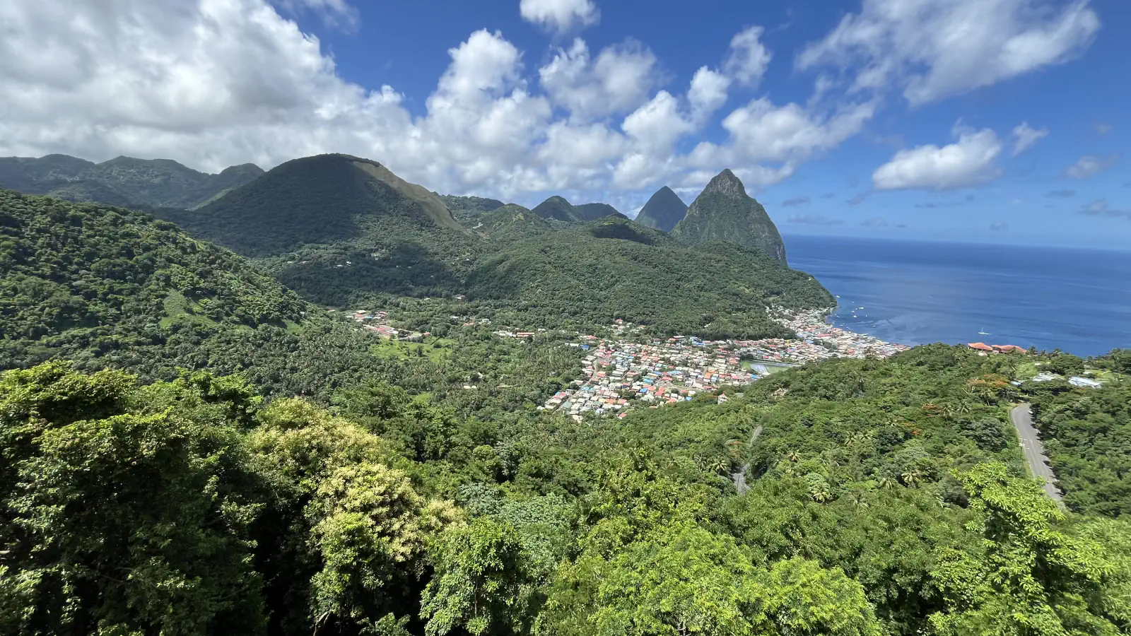
Local usage often calls Sulphur Springs “Soufrière volcano”, a term a 2002 University of the West Indies assessment calls a misuse; it places the geothermal activity within the broader Soufrière Volcanic Centre. Maria Major and Maria Minor lie offshore; a causeway connects Pigeon Island with the mainland.
At a glance
A place worth remembering
What the local name means
The assessment places Sulphur Springs’ geothermal activity within the broader Soufrière Volcanic Centre. Its authors call the local use of “Soufrière volcano” for the steaming ground a misuse and avoid the term. The report notes fumarole readings as high as 172 °C.[1]
Two Maria Islands and a causeway
Pigeon Island’s protected status
The Saint Lucia National Trust describes Pigeon Island as a 44-acre island reserve. It says the government designated it a National Park in 1979 and a National Landmark in 1992.[3]
Good to know
A few clear answers before you explore.
What does the report say the name “Soufrière volcano” refers to?
It says the name is widely misused in Saint Lucia for the area at Sulphur Springs where steam rises from the ground, which it describes as a geothermal field within the wider Soufrière Volcanic Centre.[1]
What connects Pigeon Island to the mainland?
A man-made causeway. The Saint Lucia National Trust says the island was once surrounded by water.[3]
When did Pigeon Island become a national landmark?
The Saint Lucia National Trust says it was designated a National Landmark in 1992, after becoming a National Park in 1979.[3]
The WorldStamped community
Every visit becomes part of a story.
- Members with public visits
- 0
- Places with public visits or memories
- 0
- Public memories
- 0
No public visits have been counted here yet. Add this destination to your own map and choose what you want to share.
Members are counted once. Counts include only eligible public activity from profiles that allow search discovery. Private and followers-only content is excluded.