🇨🇬Country
Congo Basin peat: a regional estimate and a core record
A 2017 study estimated peatland extent across the Cuvette Centrale; a 2022 core study found a 40 cm interval with an unusually flat age–depth profile, whose proxies point toward decomposition linked to drying.
At a glance
- Cuvette Centrale peatland estimate
- The 2017 study estimated about 145,500 km² (95% confidence interval: 131,900–156,400 km²) using field measurements and remotely sensed data.[2]
- CEN-17.4 core
- A 6.29 m core from the Ekolongouma basin in Likouala Department, analysed by Garcin et al. (2022).[1]
- The “Ghost Interval”
- A 40 cm section at 190–150 cm depth, dated to 7,520–2,090 calibrated years before present (BP, with 1950 as the reference year); the modelled curve is unusually flat there.[1]
A place worth remembering
A basin-wide estimate and a local core
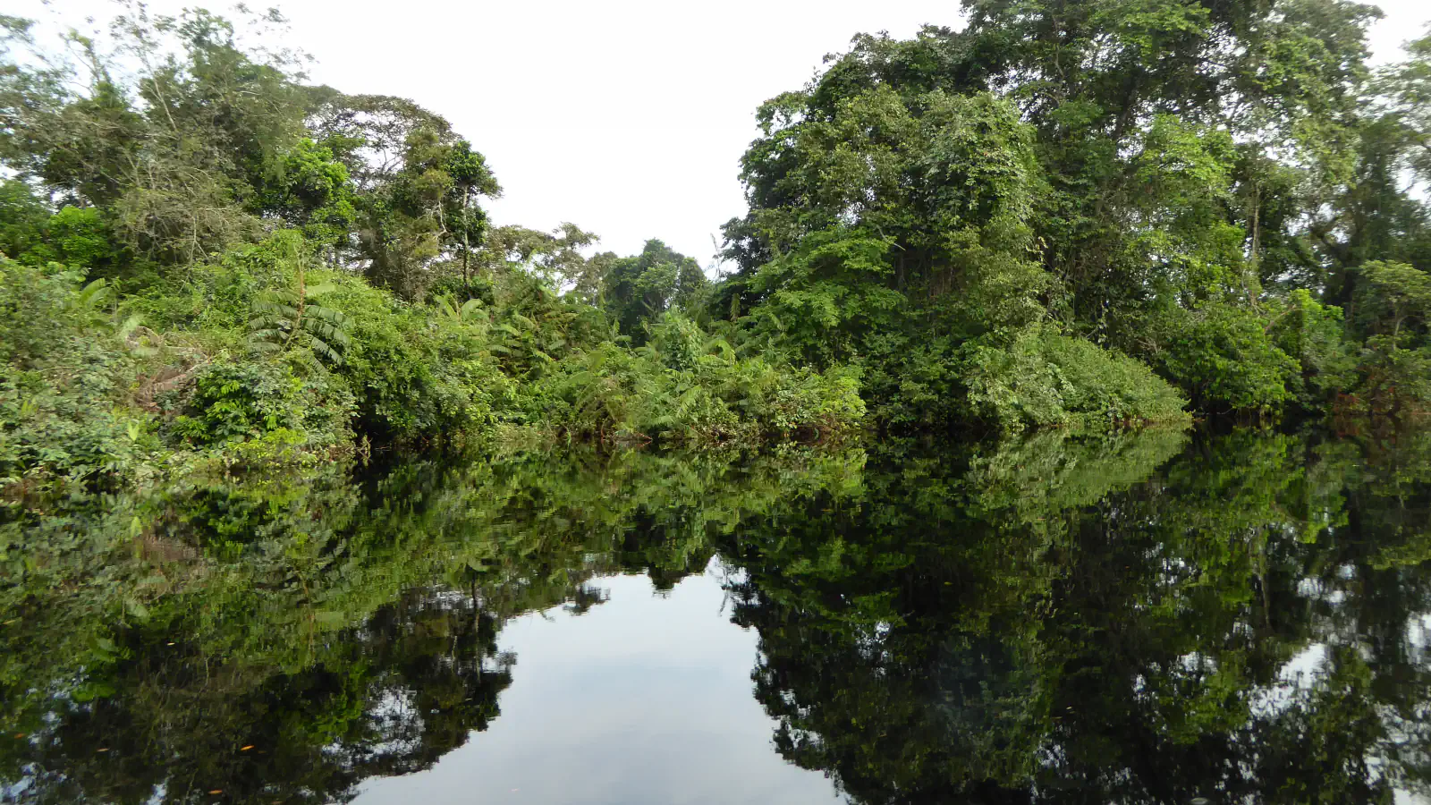
Field measurements combined with remote sensing led a 2017 study to estimate roughly 145,500 km² of peat in the Cuvette Centrale (95% confidence interval: 131,900–156,400 km²). A 2022 paper also examines CEN-17.4, a 6.29 m core from the Ekolongouma basin in Likouala Department. The authors dated two further cores, 177 km and 274 km away, and report a comparable age–depth pattern, which they read as pointing to a common large-scale driver.[2][1]
What the “Ghost Interval” represents
Across 190–150 cm in CEN-17.4, the modelled age–depth curve flattens: its slope is between one-eighth and one-fifth that of adjacent peat. The 40 cm interval dates to 7,520–2,090 calibrated years before present (BP, with 1950 as the reference year); the authors call it the “Ghost Interval.” Their proxy evidence favours decomposition during or after accumulation, linked to drying. Pollen evidence weighs against reduced plant inputs, and the authors consider physical removal unlikely for this core. This age–depth pattern alone does not measure plant growth.[1]
How old and how deep the peat is
According to the 2017 abstract, radiocarbon ages show peat starting to build up around 10,600 years ago, as conditions in central Africa turned more humid. The peat layer reaches 5.9 m at its deepest, with a median of 2.0 m.[2]
Good to know
A few clear answers before you explore.
What does the 2017 peatland estimate cover?
The 2017 paper estimates about 145,500 km² in the Cuvette Centrale; its 95% interval runs from 131,900 to 156,400 km².[2]
What is the “Ghost Interval”?
It is the 190–150 cm band in the Ekolongouma core, dated to 7,520–2,090 calibrated years before present (BP, with 1950 as the reference year). The age–depth curve is markedly flatter there than in neighbouring peat.[1]
Does the core prove that plants grew more slowly?
No. The model describes the age–depth profile, not plant growth directly. In CEN-17.4, proxy evidence favours decomposition linked to drying; the pollen evidence weighs against reduced plant inputs, and physical removal is considered unlikely for this core.[1]
The WorldStamped community
Every visit becomes part of a story.
- Members with public visits
- 0
- Places with public visits or memories
- 0
- Public memories
- 0
No public visits have been counted here yet. Add this destination to your own map and choose what you want to share.
Members are counted once. Counts include only eligible public activity from profiles that allow search discovery. Private and followers-only content is excluded.