City
Island geology, household skills and canoe travel
The Philipsburg museum’s sections cover island geology, home-based craft production and pre-Columbian tools and canoe travel.
At a glance
A place worth remembering
A museum model of the former island landscape
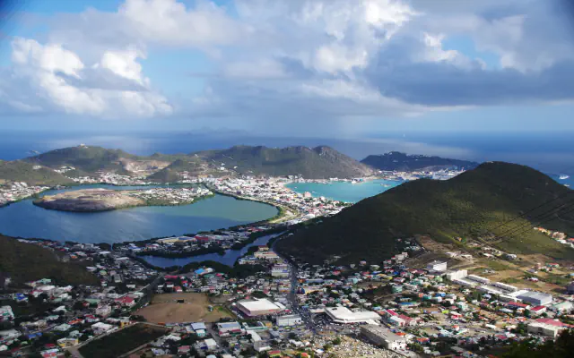
The museum’s geology page gives a layered Point Blanche specimen as one example of its rock displays and describes a three-dimensional map of what it calls “greater St. Maarten”. It places this former landmass about two million years ago, when lower sea levels joined St. Maarten, St. Barths and Anguilla.[1]
Home production for sale and exchange
The museum describes cottage industry as craft production carried out at home, with goods sold or traded.[1]
Tools and canoe travel in the museum’s account
The museum’s pre-Columbian section presents stone and shell tools and mentions canoe travel between islands.[1]
Good to know
A few clear answers before you explore.
What does the museum’s map represent?
It shows what the museum calls “greater St. Maarten”, a former landmass that joined St. Maarten, St. Barths and Anguilla when sea levels were lower.[1]
Where did cottage-industry makers work?
The museum describes this as home-based production; products could be sold or traded.[1]
What does the museum call the canoes used for island travel?
Its pre-Columbian account calls them “Piroques”.[1]
The WorldStamped community
Every visit becomes part of a story.
- Members with public visits
- 0
- Places with public visits or memories
- 0
- Public memories
- 0
No public visits have been counted here yet. Add this destination to your own map and choose what you want to share.
Members are counted once. Counts include only eligible public activity from profiles that allow search discovery. Private and followers-only content is excluded.