🇲🇱Country
Mali: earth-built Djenné, the Bandiagara cliffs and the flooding Inner Niger Delta
Djenné’s UNESCO-listed property joins the living town with four archaeological sites; the Bandiagara landscape contains 289 villages across plateau, cliff and plain. Farther north, the Inner Niger Delta stretches from Ké Macina to Timbuktu.
At a glance
A place worth remembering
Djenné: a town of earth houses raised above the flood
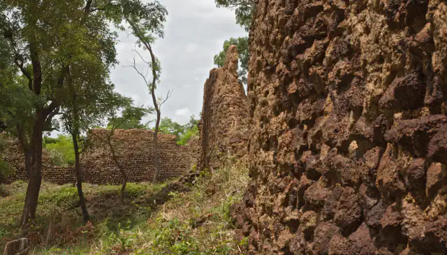
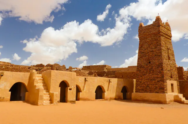
The Djenné World Heritage property combines the old town, spread over 48.5 ha and ten districts, with four archaeological sites: Tonomba, Hambarkétolo, Djenné-Djeno and Kaniana. UNESCO dates occupation of the Djenné site to 250 BC. UNESCO counts nearly 2,000 surviving traditional homes set on hillocks called toguere, which shield them from seasonal floods. Archaeological work began in 1977 and continued in 1981, with further excavations in 1996 and 1997. These campaigns exposed an earlier settlement built from djénné ferey bricks, alongside pottery, funerary jars, grinding stones and metal slag. The town’s vertical profile reflects houses with two storeys whose façades use buttresses. The present mosque was reconstructed in 1906–07.[1]
Bandiagara: cliff villages in the Land of the Dogons
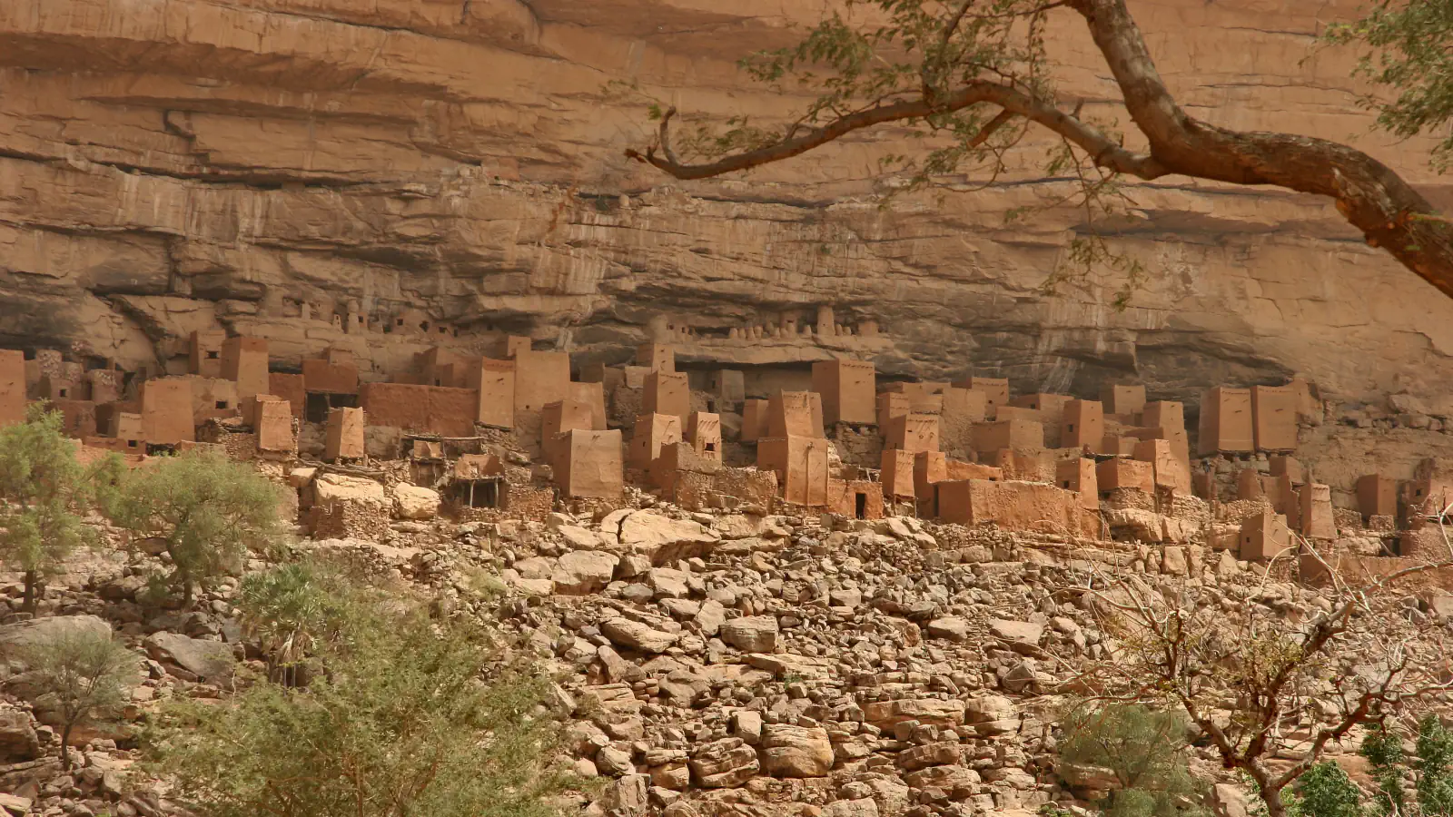
UNESCO lists the property under the official name “Cliff of Bandiagara (Land of the Dogons).” It comprises 289 villages across a sandstone plateau, escarpment and plains. UNESCO links cave dwellings with the Tellem and also records Dogon villages. Its description of Dogon building names granaries, mostly square and capped with tapering thatch; the gin’na, a family house usually on two levels, with a windowless banco façade broken by niches and decorated doors; and the togu-na, a long shelter whose branch roof rests on roughly shaped wooden poles. UNESCO notes that some Dogon binu shrines in caves preserve cult places of the Tellem. UNESCO records the endemic Acridocarpus monodii on the cliffs.[2]
Inner Niger Delta: a floodplain between Ké Macina and Timbuktu
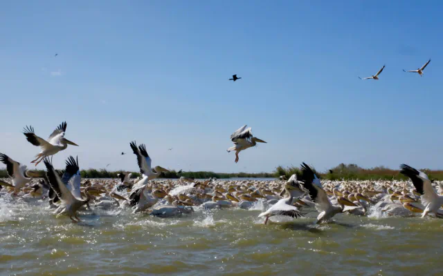
The Ramsar wetland covers 4,119,500 ha across the Ségou, Mopti and Timbuktu regions, from Ké Macina to Timbuktu; it was designated on 1 February 2004. The 26 March 2025 sheet describes the Niger and Bani branching between Djenné and Timbuktu over about 400 km, with an average width of 90 km. Floodwater usually arrives between July and November, with low water from February to June; the report also distinguishes rivers, 19 lakes, ponds and floodplains. A 2018–19 survey counted 33,856 waterbirds (PDD-DIN 2019). Separately, Ramsar cites Daget’s 1954 estimate of about 138 fish species in 58 genera and 26 families. The site profile lists the hippopotamus among its globally vulnerable species.[3]
Good to know
A few clear answers before you explore.
Why are Djenné’s houses built on hillocks?
UNESCO says the hillocks called toguere help protect the town’s surviving traditional homes from seasonal floodwater. The Ramsar sheet for the delta gives July to November as the usual high-water period.[1][3]
What does the Bandiagara site include?
The listed landscape spans 289 villages across three landforms UNESCO names as sandstone plateau, escarpment and plains. Dogon architecture includes granaries, gin’na family houses, cave shrines and shaded shelters.[2]
When does the Inner Niger Delta flood?
The Ramsar sheet gives July through November as the usual high-water period and February through June as the low-water period. It locates the Niger and Bani channels between Djenné and Timbuktu, over about 400 km with an average width of 90 km.[3]
The WorldStamped community
Every visit becomes part of a story.
- Members with public visits
- 0
- Places with public visits or memories
- 0
- Public memories
- 0
No public visits have been counted here yet. Add this destination to your own map and choose what you want to share.
Members are counted once. Counts include only eligible public activity from profiles that allow search discovery. Private and followers-only content is excluded.