🇱🇸Country
Lesotho: Early Jurassic tracks at Moyeni, Katse Dam and the Sehlabathebe watershed
At Moyeni in south-western Lesotho, the bank of an Early Jurassic river still carries trackways of dinosaurs and other animals, several of them converging on one spot. Katse Dam in the central Maloti Mountains closes a basalt valley with a 185 m arch. The Maloti–Drakensberg escarpment divides two drainage basins: rivers from the southern Maloti, including those in Sehlabathebe National Park, feed the Senqu/Orange toward the Atlantic; the Thukela basin drains toward the Indian Ocean.
At a glance
A place worth remembering
Moyeni, Quthing District: a river bank crossed in the Early Jurassic
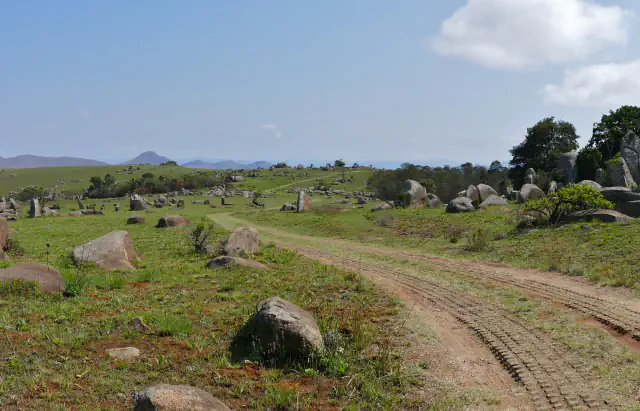
At the Moyeni exposure, an Early Jurassic surface preserves tracks attributed to theropods, ornithischians and other tetrapods. Smith, Marsicano and Wilson place the prints along the inner bend of an ancient river; they note that many pass through an algal film at the water’s edge. Several trails meet at one point. Smith and colleagues propose that the animals may have returned there to drink or ford the river. Haupt’s 2018 thesis describes Hettangian deposits as a low-energy river-and-lake system and notes geological evidence of both sudden flooding and dry spells. Haupt’s 2018 thesis abstract suggests a Sinemurian change from wetter to drier desert conditions in the lower Clarens, interpreting its thin mudstones and theropod tracks alongside eastward-moving dunes.[1][2]
Katse Dam, central Maloti Mountains: an arch fitted to a basalt valley
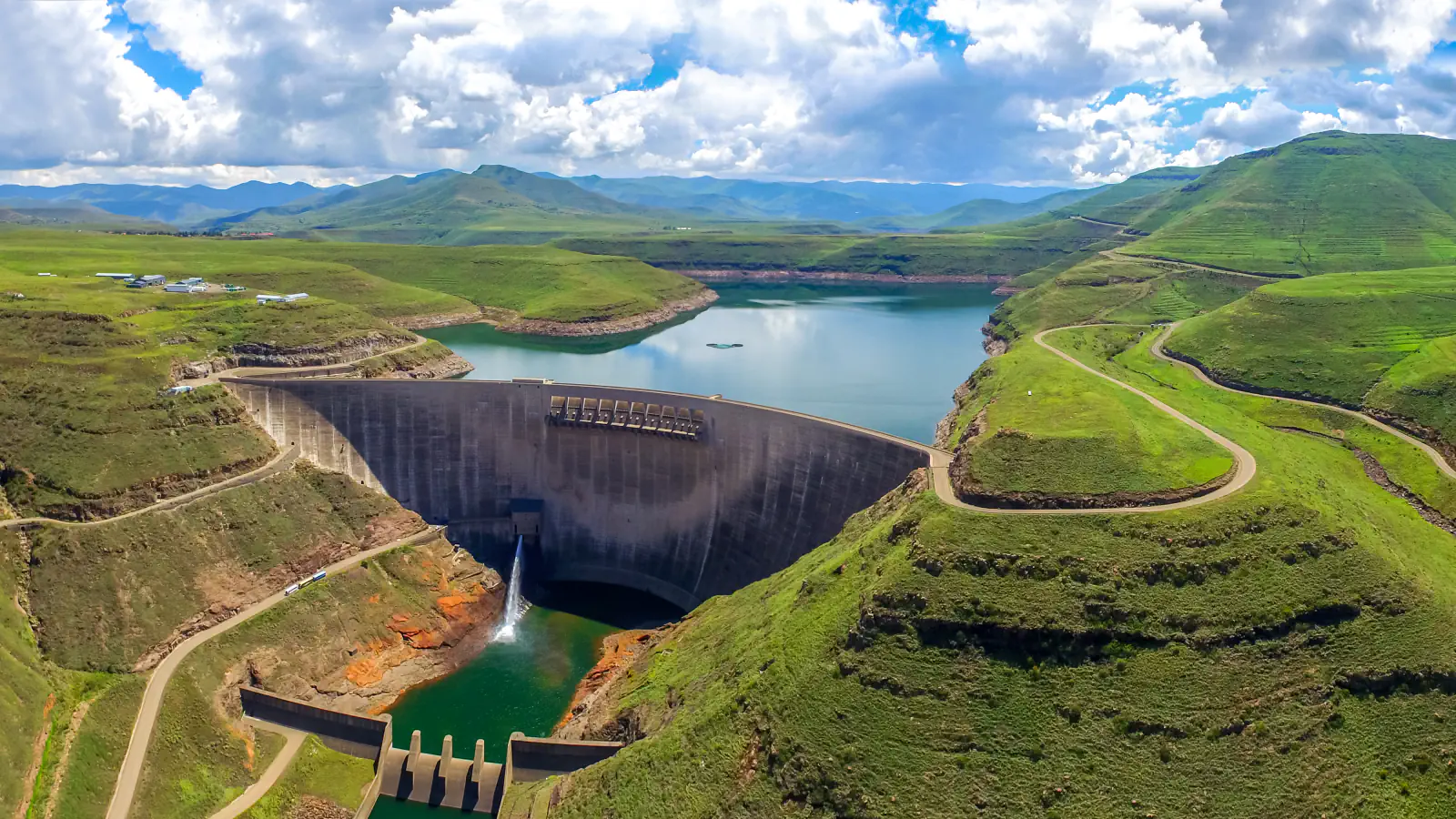
Katse belongs to Phase 1A of the Lesotho Highlands Water Project, which, according to the Trans-Caledon Tunnel Authority (TCTA), also includes the Muela hydropower station and a 45 km transfer tunnel. The Lesotho Highlands Development Authority (LHDA) sets the dam on the Malibamat'so River, 3 km below the Bokong confluence, in a valley walled by basalt. LHDA describes a double-curvature arch 185 m high, with a 710 m crest and a reservoir of 1,950 million m³; TCTA gives the same height, crest length and storage. Building ran from February 1991 to May 1997, and LHDA lists water delivery from January 1998. It also records two construction details. Rock conditions found while the foundation was excavated led to a conservative design change, a 165 m preformed joint at the upstream heel meant to reduce uplift pressure. And the basalt aggregate came from a quarry in the neighbouring valley, carried to the crusher by a 2.4 km conveyor that runs through a 1.4 km tunnel.[3][4]
Sehlabathebe: a watershed divide and the Maloti minnow
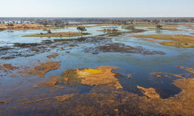
UNESCO describes Sehlabathebe National Park as a 6,500 ha part of the Maloti-Drakensberg World Heritage property, added to the property in 2013. The escarpment divides two major drainage basins: rivers from the southern Maloti, including Sehlabathebe, feed the Senqu/Orange and flow west to the Atlantic, while the Thukela from the South African park flows east to the Indian Ocean. UNESCO identifies the Maloti minnow (Pseudobarbus quathlambae) as critically endangered. A separate LHDA biodiversity poster reports that the Mohale evolutionary significant unit accounts for 77% of the species’ total extent of occurrence; it also notes an Eastern Lesotho unit.[5][6]
Good to know
A few clear answers before you explore.
Which animals left the tracks at Moyeni?
The paper classifies Neotrisauropus-type impressions as theropod tracks and Moyenisauropus-type impressions as ornithischian tracks. It interprets the chirotheroid prints as probably made by basal crurotarsan archosaurs. For Episcopopus, the authors infer short limbs from the gait and body impressions, but explicitly say the trackmaker’s identity remains unresolved. Haupt’s 2018 thesis also records amphibian and crocodylomorph traces at Moyeni.[1][2]
Why does Katse Dam have a preformed joint 165 m long?
According to LHDA, foundation rock conditions led engineers to add the joint as a conservative design measure. It is intended to counter pressure from water beneath the structure. LHDA classifies Katse as a double-curvature arch dam in a valley enclosed by basalt mountains.[3]
How does water flow from the Sehlabathebe area?
UNESCO says the rivers of the southern Maloti, including those in Sehlabathebe National Park, feed the Senqu/Orange system, which flows west to the Atlantic. The Thukela from the South African side flows east to the Indian Ocean.[5]
The WorldStamped community
Every visit becomes part of a story.
- Members with public visits
- 0
- Places with public visits or memories
- 0
- Public memories
- 0
No public visits have been counted here yet. Add this destination to your own map and choose what you want to share.
Members are counted once. Counts include only eligible public activity from profiles that allow search discovery. Private and followers-only content is excluded.