🇧🇼Country
Flood timing, cave evidence and a former lake shore
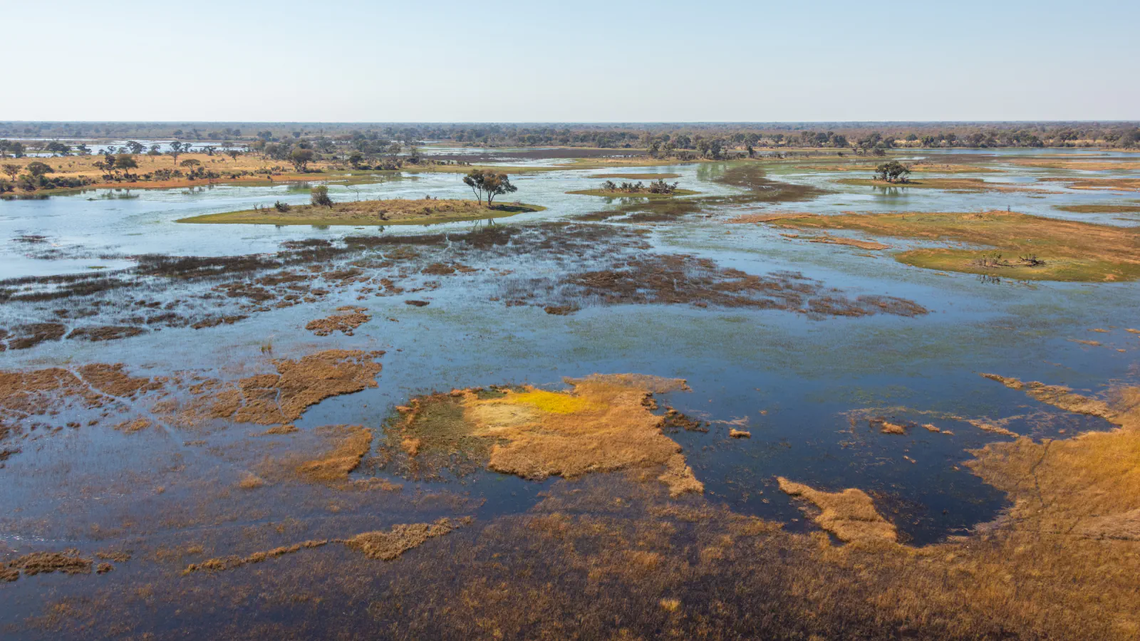
In the Okavango, the annual rains and flood pulse are separated by distance and slow movement through the delta. At Tsodilo’s Rhino Cave, researchers interpret the treatment of Middle Stone Age points as ritualized behavior; at Sua Pan, core sites sit below an elevation attributed to a former Makgadikgadi shoreline.
At a glance
- Okavango flood timing
- Rainy season: November–March; flood wave crests at the inlet in April; maximum inundation is recorded in August or September.[1]
- Rhino Cave interpretation
- The study authors interpret the treatment of Middle Stone Age points as ritualized behavior; the deposits have no reliable dates.[2]
- Makgadikgadi elevations
- Earlier shoreline estimate: about 945 m above sea level; Sua Pan floor at the three core sites: about 903 m.[3]
A place worth remembering
Okavango: why the flood arrives in stages
Wolski and Murray-Hudson analysed hydrometric data from channels in the eastern Okavango Delta over three decades. They link the annual flood mainly to rainfall in a catchment roughly 600 km away. The wet season runs from November through March, but the flood wave crests at the delta inlet in April, while the broadest inundation is recorded in August or September. The authors connect this lag to the distance from the headwaters and to slow movement across the delta. They also caution that channel readings alone do not capture the system’s full flood dynamics.[1]
Rhino Cave: an interpretation of the stone points
The 2011 paper examines Middle Stone Age points recovered from Rhino Cave at Tsodilo. The finished pieces were treated in ways unlike ordinary tool use: the researchers report selective burning, abandonment in the cave or deliberate breakage. They argue that ritualized behavior best fits this pattern. Because the MSA deposits have no reliable dates, they cannot place the actions securely in time.[2]
Makgadikgadi: shoreline and pan-floor elevations
Franchi and colleagues describe the Makgadikgadi Basin as the relict area of Lake Palaeo-Makgadikgadi. Their paper cites earlier work that places a former shoreline near 945 m above sea level; their own fieldwork gives the Sua Pan floor at about 903 m at three core sites. These elevations refer to different features. The 42 m difference between them is not a direct measurement of lake depth.[3]
Good to know
A few clear answers before you explore.
Why does the Okavango flood reach its widest extent months after the rains?
Wolski and Murray-Hudson link the annual flood to rainfall in a distant catchment and describe slow propagation across the delta. In their record, the wave crests at the inlet in April; the broadest inundation is recorded in August or September.[1]
Why do the researchers consider the Rhino Cave points unusual?
The study describes selective burning of completed points, their abandonment in the cave and intentional breakage—treatment unlike routine tool use. The researchers favour a ritualized-behavior interpretation, but note that the MSA deposits are not reliably dated.[2]
Do the 945 m and 903 m figures show the former lake’s depth?
No. Franchi and colleagues cite earlier work for the shoreline elevation near 945 m; 903 m is the elevation of the Sua Pan floor at their core sites. The figures describe different features.[3]
The WorldStamped community
Every visit becomes part of a story.
- Members with public visits
- 0
- Places with public visits or memories
- 0
- Public memories
- 0
No public visits have been counted here yet. Add this destination to your own map and choose what you want to share.
Members are counted once. Counts include only eligible public activity from profiles that allow search discovery. Private and followers-only content is excluded.