🇮🇱Country
Israel: garden-lot planning, Carmel cave archaeology and Avdat’s water-harvesting systems
In Tel Aviv, Geddes’s 1925–27 plan paired detached buildings with garden lots. At Mount Carmel, Nahal Me’arot’s cave record reaches back 500,000 years or more; around Avdat, researchers link runoff-harvesting systems to local terrain.
At a glance
A place worth remembering
Tel Aviv: the building lot as a garden setting
The ICOMOS evaluation of Geddes’s plan describes a garden setting at the scale of each lot: a detached building could occupy no more than a third of its parcel. It also notes design choices adapted to hot weather, including strip windows and deep balconies that cast shade. UNESCO gives the White City a construction period from the early 1930s through the 1950s.[2][1]
Mount Carmel: human evidence across four caves
Avdat: a walled town above the desert plain
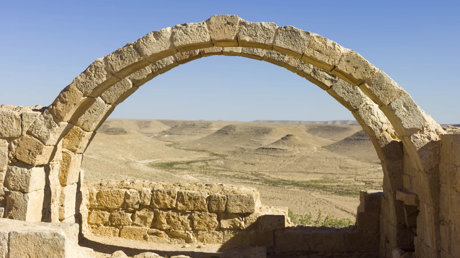
ICOMOS places Avdat on a promontory roughly 80 metres above the surrounding plain and describes it as a walled town. UNESCO situates it within an agricultural landscape along the Incense Route. A 2012 study abstract examines runoff-harvesting systems around Avdat and Shivta, linking differences in their form to the local terrain and distance from roads and settlements.[7][6][8]
Good to know
A few clear answers before you explore.
What was distinctive about the Geddes plan for Tel Aviv lots?
ICOMOS’s 2003 evaluation describes a detached building in a garden, with the building footprint capped at one third of its lot. UNESCO dates Geddes’s plan to 1925–27.[1][2]
What age estimate does the Skhul study give?
The 2005 article abstract gives a best estimate of 100,000–135,000 years, conditional on the burials being close in time. It also leaves open whether material linked to Skhul IX is older than material linked to Skhul II and Skhul V.[5]
What factors were linked to runoff-harvesting system designs near Avdat?
The 2012 study abstract relates variation in the systems near Avdat and Shivta to local geology and landforms, and to distance from roads and settlements.[8]
The WorldStamped community
Every visit becomes part of a story.
- Members with public visits
- 0
- Places with public visits or memories
- 0
- Public memories
- 0
No public visits have been counted here yet. Add this destination to your own map and choose what you want to share.
Members are counted once. Counts include only eligible public activity from profiles that allow search discovery. Private and followers-only content is excluded.