🇰🇲Country
The Comoros in three places: medinas on Ngazidja and Ndzuwani, the Karthala volcano and the turtle beaches of Itsamia on Mwali
Six historic island towns, a seismic study of Karthala’s 1991 eruption and five beaches followed in a long-term turtle-nesting study: the medinas of Moroni, Ntsudjini, Itsandra and Ikoni on Ngazidja and of Mutsamudu and Domoni on Ndzuwani, the Karthala volcano on Ngazidja, and the Itsamia beaches on Mwali.
At a glance
A place worth remembering
Six medinas on two islands, 30.47 hectares in all
UNESCO’s 2026 listing brings together historic quarters in six towns: Moroni, Ntsudjini, Itsandra and Ikoni on Ngazidja, plus Mutsamudu and Domoni on Ndzuwani. The mapped components total 30.47 ha; their buffer zone covers 131.68 ha. Palaces and public squares anchor compact neighbourhoods of stone houses and defensive structures. UNESCO traces these island urban forms to migration and Indian Ocean exchange. It also describes social structures combining maternal-line descent and residence, age-group organisation and patrilineal Islamic customs. The Committee flags old palaces, city walls and historic mosques as vulnerable; several are in serious disrepair. It says concrete rebuilding has partly compromised the historic material fabric. The UNESCO gallery illustrates the Friday Mosque in Moroni, the Citadel and Ujumbe Palace in Mutsamudu, and the Shiraz Mosque and Toyifa Palace in Domoni.[1][2][3][4]
Karthala: what seismic monitoring recorded in 1991
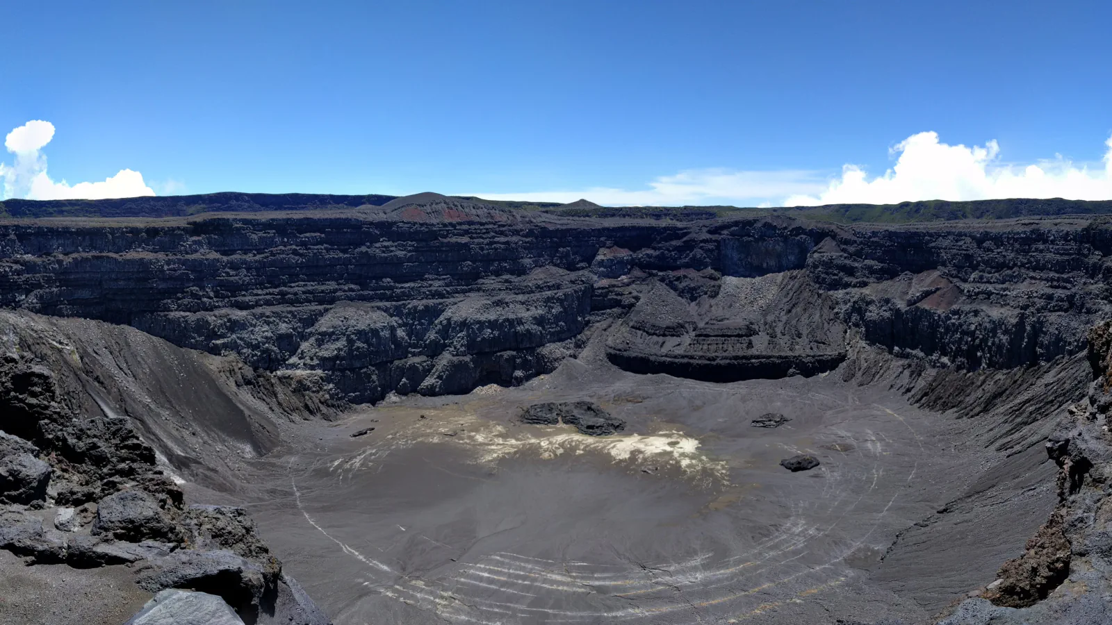
Savin, Grasso and Bachèlery describe Karthala as a basaltic shield with an active hydrothermal system on Grande Comore. Local observatory monitoring began in 1988, and the phreatic eruption of 11 July 1991 was the first event at Karthala recorded seismically. Their 1991–95 earthquake locations formed a narrow north–south zone inside the summit caldera, about 3 km long and 1 km wide, from 2 km below to 2 km above sea level. The authors interpret this pattern as brittle damage from the eruption and suggest that fluid movement under pressure may have fractured the rock and driven the event.[5]
Itsamia on Mwali: turtle surveys, 1999–2014
Bourjea et al. counted nesting tracks daily on the five Itsamia beaches from 1999 to mid-June 2007; later monitoring, from August 2009 to December 2014, was opportunistic. They report year-round nesting, with a seasonal peak from March through August and monthly estimates highest in May. The authors say a statistically robust analysis of the later data was not possible.[6]
Good to know
A few clear answers before you explore.
Why are the Comorian medinas recognised by UNESCO?
The 2026 decision inscribed the site under criteria (iii) and (iv). UNESCO highlights living cultural practice and an island urban form shaped by migration and Indian Ocean exchange. Its account describes social organisation through maternal-line descent, residence, age groups and patrilineal Islamic customs.[1][2]
Was the 1991 Karthala eruption captured by seismic monitoring?
The authors say the July 1991 eruption was the first at Karthala to appear in the local observatory’s seismic record, which began in 1988. Their abstract also maps the earthquake locations inside the summit caldera.[5]
When is turtle nesting season at Itsamia?
The study reports nesting throughout the year, with a seasonal peak from March to August; its average monthly values were highest in May. Daily track surveys ran until mid-2007, followed by intermittent observations through 2014.[6]
The WorldStamped community
Every visit becomes part of a story.
- Members with public visits
- 0
- Places with public visits or memories
- 0
- Public memories
- 0
No public visits have been counted here yet. Add this destination to your own map and choose what you want to share.
Members are counted once. Counts include only eligible public activity from profiles that allow search discovery. Private and followers-only content is excluded.