🇹🇩Country
Water records in Chad: Ounianga, Ennedi and Lake Chad
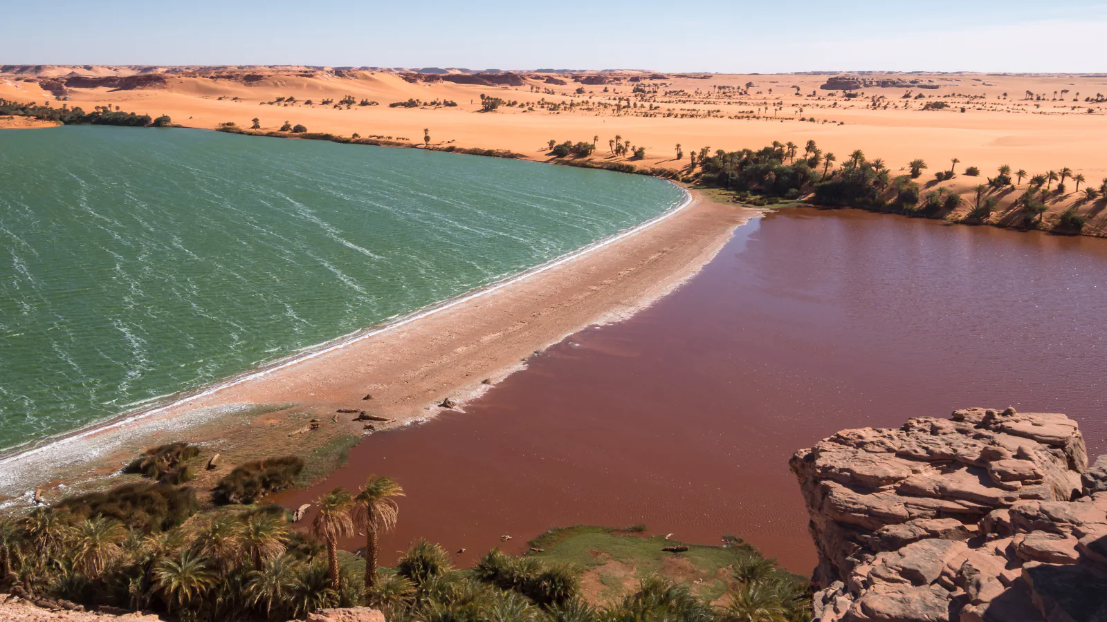
Groundwater sustains the Ounianga lakes in north-eastern Chad, where Lake Yoa’s sediments preserve evidence of changing water conditions over six millennia. In March 2013, Trape surveyed fish in Ounianga and Ennedi waters and observed two crocodiles at Guelta Archei. Farther south, satellite measurements show different trends in Lake Chad’s northern and southern pools.
At a glance
A place worth remembering
Ounianga: groundwater and a 6,000-year lake record
The Ounianga lakes persist in an exceptionally dry region: Trape reports an average of 3 mm of rain a year at Ounianga Kebir and attributes the perennial lakes to groundwater from the Nubian Sandstone Aquifer. Kröpelin and colleagues used Lake Yoa’s laminated sediments to reconstruct environmental change over 6,000 years. Their record places the shift from freshwater habitat to a salt lake around 4,200–3,900 calendar years before present, while change on the surrounding land unfolded over a longer span.[1][2]
A 2013 field survey from Ounianga to Ennedi
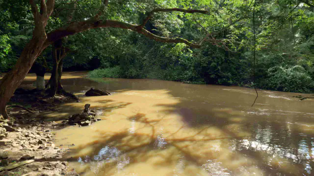
Trape’s March 2013 survey sampled lakes and springs at Ounianga and gueltas at Bachikele and Archei in the Ennedi. At Lake Boukou, the paper records five fish species, including Polypterus senegalus and Poropanchax normani. During a short visit to Guelta Archei, Trape observed two crocodiles; a separate 2011 review cites reports from the site since the 1930s but says the population size had not been quantified.[1][3]
Lake Chad: different trends in its two pools
Lake Chad is shallow, with a reported depth under 3 m. Pham-Duc and colleagues’ satellite analysis of open water from 2001 to 2018 found a slight decline in the northern pool while the southern pool remained broadly stable. The paper notes that the Chari–Logone river system supplies more than 90% of the lake’s inflow, and estimates that about 70% of variations in the lake’s water volume come from the subsurface.[4]
Good to know
A few clear answers before you explore.
Why do the Ounianga lakes persist in a dry climate?
Trape reports very little rain at Ounianga Kebir and attributes the perennial lakes to groundwater inflow from the Nubian Sandstone Aquifer. Kröpelin and colleagues say this aquifer was last recharged in the early Holocene.[1][2]
What did the 2013 field survey record?
Trape collected five fish species at Lake Boukou, including Polypterus senegalus and Poropanchax normani, and observed two crocodiles during a short visit to Guelta Archei. The separate 2011 crocodile review reports historical sightings there but gives no population count.[1][3]
What period do the Lake Chad satellite results cover?
Pham-Duc and colleagues analysed open-water extent from 2001 through 2018. Their altimetry series covers 2003–2018, while the southern-pool Hydroweb series extends to mid-2019; these dated observations do not describe conditions through today.[4]
The WorldStamped community
Every visit becomes part of a story.
- Members with public visits
- 0
- Places with public visits or memories
- 0
- Public memories
- 0
No public visits have been counted here yet. Add this destination to your own map and choose what you want to share.
Members are counted once. Counts include only eligible public activity from profiles that allow search discovery. Private and followers-only content is excluded.