🇰🇭Country
Cambodia: irrigation, river reversal and ancient water systems
In Siem Reap, an APSARA update records a 2023–24 dry-season release from West Baray. At Tonlé Sap, seasonal level differences turn the river inland; at Sambor Prei Kuk, UNESCO counts 102 hydraulic features.
At a glance
- West Baray
- APSARA reported in January 2024 that dry-season irrigation releases had begun in December 2023.[1]
- Tonlé Sap Lake
- The MRC table gives mean annual minimum and maximum lake levels as 1.3 m and 9 m above sea level (7.7 m difference).[2]
- Sambor Prei Kuk
- UNESCO counts 102 hydraulic features; the Temple Zone covers about 840 ha.[4]
A place worth remembering
West Baray: a dated dry-season irrigation link
APSARA’s 19 January 2024 report says West Baray water was supplying dry-season rice fields and that the releases had begun in December 2023. It puts the communities using baray water at nine communes or sangkats with 65 villages and 6,818 families, together farming 7,850 hectares.[1]
Tonlé Sap: water levels reverse the river
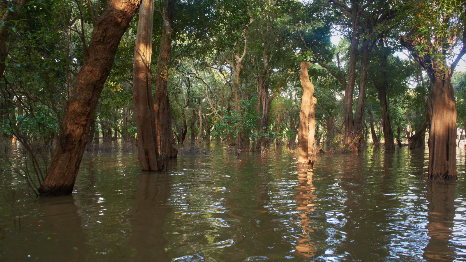
Seasonal differences between Mekong River water levels and those of Tonlé Sap Lake govern the river’s direction. In the wet season, Mekong levels at Phnom Penh rise above those of the lake, sending water inland; as levels fall, the river turns downstream again. The Mekong River Commission’s table lists mean annual minimum and maximum lake levels as 1.3 and 9 metres above sea level, a 7.7-metre difference. UNESCO’s biosphere-reserve page describes flooded forests as a natural barrier protecting villages from inundation and soil erosion.[2][3]
Sambor Prei Kuk: 102 hydraulic features
UNESCO counts 102 hydraulic features at Sambor Prei Kuk. It describes the wider ensemble as evidence of planning and resource management; the listed Temple Zone covers about 840 hectares and holds 186 temples built of fired brick with sandstone details.[4]
Good to know
A few clear answers before you explore.
When does the Tonlé Sap River usually reverse?
The Mekong River Commission’s average places the first annual reversal in early June, though it can occur about a month earlier or later, depending on the onset of monsoon rains. The lake inflow phase usually lasts four months and typically ends at the end of September, give or take about two weeks.[2]
Which other water sources did farmers mention?
In APSARA’s 19 January 2024 account, a farmers’ representative also named Dam 78 and Tonlé Sap as sources for the dry-season fields.[1]
How large is Sambor Prei Kuk’s Temple Zone?
UNESCO lists the Temple Zone at about 840 hectares.[4]
The WorldStamped community
Every visit becomes part of a story.
- Members with public visits
- 0
- Places with public visits or memories
- 0
- Public memories
- 0
No public visits have been counted here yet. Add this destination to your own map and choose what you want to share.
Members are counted once. Counts include only eligible public activity from profiles that allow search discovery. Private and followers-only content is excluded.