City
Cairo and its water: a flood gauge, an aqueduct, a fountain with a school
On Rawda Island a nilometer measured the Nile’s rise; an aqueduct carried water uphill toward the Citadel; and an Al-Muizz Street sabil provided drinking water beneath a school.
At a glance
A place worth remembering
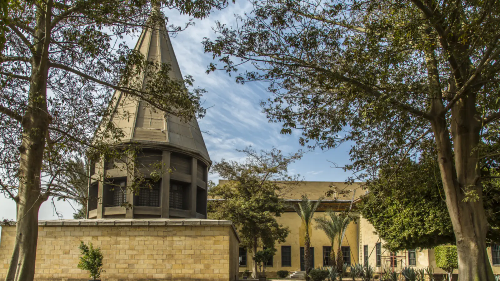
Rawda Island: a marble column that read the flood
At Rawda Island, a marked octagonal marble column stands in a stone-lined well so observers could track the rising Nile. Egypt’s Ministry of Tourism and Antiquities dates the structure to 247 AH/861 AD and credits its commission to Abbasid caliph al-Mutawakkil. It explains the wider use of nilometer readings: they helped plan dykes and canals and inform tax levels. The ministry also notes Qur’anic inscriptions on the well walls about water, vegetation and prosperity.[1]
Magra El-Oyoun: lifting Nile water toward the Citadel
Along a raised masonry route, water wheels lifted Nile water from the lowlands at Fum El-Khalig toward the Citadel. Cairo Governorate describes the channel-and-wall system as a Mamluk project and says Sultan Qansuwa later renovated it and added wheels near Sayyeda Nafisa. The works addressed a supply problem: an earlier well at the Citadel had not provided enough water. The governorate names Fum El-Khalig and the Sayyeda Nafisa area as the two endpoints of the surviving wall.[2]
Al-Muizz Street: drinking water beside a school
At the Al-Muizz–Tambakshiya junction, Abd al-Rahman Katkhuda’s 1744 sabil-kuttab combined public water distribution with a school above it. Egypt’s Ministry of Tourism and Antiquities says the lower sabil supplied drinking water and the upper kuttab taught Muslim orphans the Qur’an and prophetic traditions. Its ceramic panels carry Ottoman floral designs; some tiles also show Mecca’s Great Mosque. UNESCO notes that sabils remain part of the neighbourhoods they served, and that many still have underground tanks.[4][3]
Good to know
A few clear answers before you explore.
What did the Nilometer on Rawda Island measure?
The column’s marks showed the water level in the well. The Ministry of Tourism and Antiquities links nilometer readings to planning dykes and canals and setting taxes.[1]
Why was the Magra El-Oyoun Aqueduct built?
An earlier well could not supply the Citadel adequately. Cairo Governorate describes the Mamluk aqueduct as a way to bring Nile water uphill toward the fortress.[2]
What is a sabil-kuttab?
A sabil distributed drinking water; a kuttab was a school. In the 1744 Katkhuda building, the school stood above the sabil and taught Muslim orphans, according to the Ministry of Tourism and Antiquities.[4]
The WorldStamped community
Every visit becomes part of a story.
- Members with public visits
- 0
- Places with public visits or memories
- 0
- Public memories
- 0
No public visits have been counted here yet. Add this destination to your own map and choose what you want to share.
Members are counted once. Counts include only eligible public activity from profiles that allow search discovery. Private and followers-only content is excluded.