City
Algiers: Casbah roof routes, Djamaa el-Kebir and Hamma
Casbah rooftops once linked homes above the streets; Djamaa el-Kebir’s eleven-aisle prayer hall and Hamma’s 32-hectare garden reveal two other sides of Algiers.
At a glance
A place worth remembering
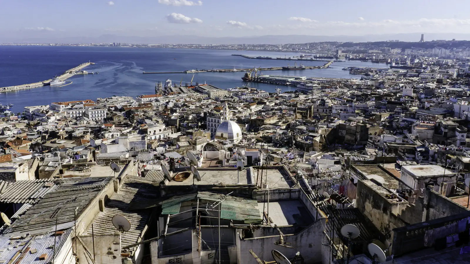
Casbah roofs once linked neighbouring homes
Çelik’s description of a Casbah house has a stair up to the roof terrace, where a cistern for rainwater was common. She adds that the tightly packed houses let people move across adjoining terraces and call on other households without going down to street level. UNESCO applies “Kasbah” today to the old town within its Ottoman-period ramparts; it says that in the Zirid era the name referred to the medina’s highest point. UNESCO reports nearly 50,000 people living there.[3][2]
Djamaa el-Kebir: eleven aisles in the prayer hall
Museum With No Frontiers places Djamaa el-Kebir in the Almoravid period and gives 1097, a date that G. Marçais derived from an inscription on its minbar. Its entry describes an eleven-aisle prayer hall with a courtyard and galleries; a separate inscription at the minaret’s base is the basis for the date 1324.[6]
Hamma: the garden and a separate arboretum
Good to know
A few clear answers before you explore.
How does UNESCO use the name “Kasbah”?
UNESCO says that in the Zirid era the term first referred to the medina’s highest point; today it applies to the old town within the Ottoman-period ramparts.[2]
How did the Casbah’s roofs connect its residents?
Çelik says the closely built houses made it possible to go from terrace to terrace and call on other households without walking the streets; she calls the rooftops an alternative public realm.[3]
How are the garden and arboretum areas distinguished?
The tourism directorate lists Hamma garden at 32 hectares; Med-O-Med lists a separate 20-hectare arboretum on higher ground.[5][4]
The WorldStamped community
Every visit becomes part of a story.
- Members with public visits
- 0
- Places with public visits or memories
- 0
- Public memories
- 0
No public visits have been counted here yet. Add this destination to your own map and choose what you want to share.
Members are counted once. Counts include only eligible public activity from profiles that allow search discovery. Private and followers-only content is excluded.