🇧🇹Country
Bhutan: Thorthormi lake levels, Punakha’s confluence and Gangtey-Phobji cranes
At Thorthormi, an evaluation records different drawdowns in three lakes; two rivers join beside Punakha Dzong, while a 2016 Ramsar sheet reports about 300 cranes wintering in the Gangtey-Phobji valley.
At a glance
- Thorthormi channel gradient
- The 2014 evaluation links Subsidiary Lake I’s 3.66 m reduction to a channel gradient of 2%.[1]
- Punakha Dzong
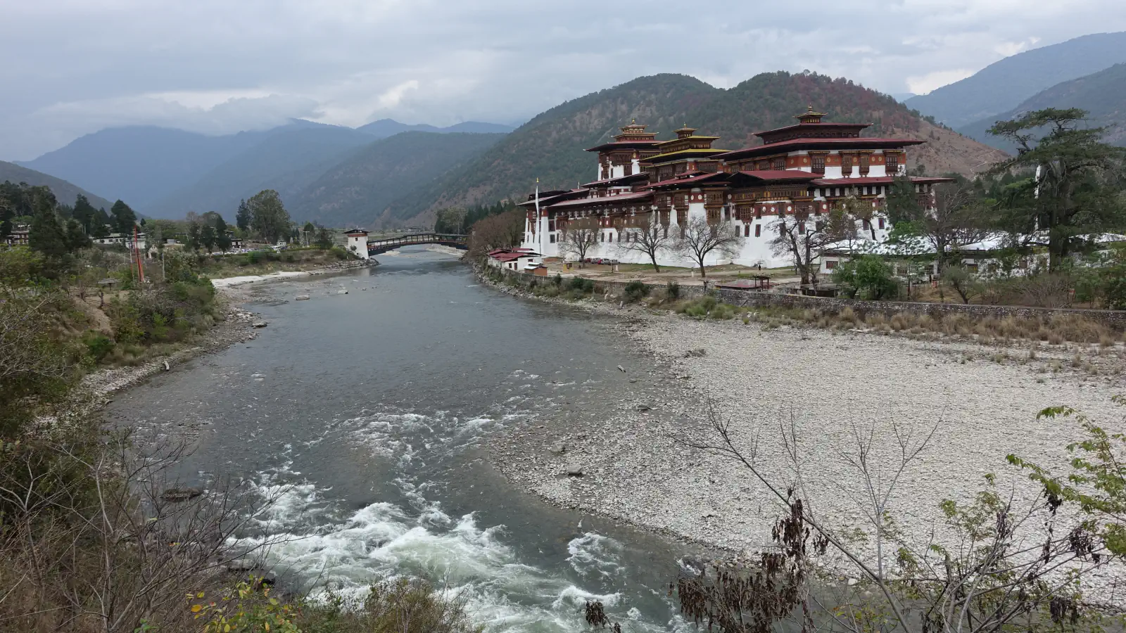
- The 2012 Bhutanese submission dates Punthang Dechenphodrang Dzong in Punakha to 1637.[3]
- Gangtey-Phobji water use
- The 2016 Ramsar sheet says people in 44 valley villages depend on wetland water.[4]
A place worth remembering
Thorthormi: three different lake drawdowns
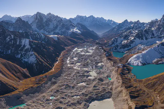
The 2014 assessment for UNDP explains the smaller reduction in Subsidiary Lake I: a 2% gradient along the excavated channel meant the planned 5 m lowering was not required. It reports cumulative reductions of 5.04 m in Thorthormi’s main lake, 5.08 m in Subsidiary Lake II and 3.66 m in Subsidiary Lake I.[1]
Punakha: a dzong beside two rivers
Gangtey-Phobji: wintering cranes and wetland water
The Ramsar Information Sheet last published in 2016 reports about 300 black-necked cranes (Grus nigricollis) wintering in the Gangtey-Phobji valley from October to March. The sheet also identifies the wetland as a source of water for valley residents and reports that people in 44 villages rely on it.[4]
Good to know
A few clear answers before you explore.
Why did Subsidiary Lake I not need the planned 5 m drop?
The evaluation says its excavated channel kept a 2% gradient along its length, so the planned reduction was unnecessary; the lake fell by 3.66 m.[1]
Which rivers meet beside Punakha Dzong?
PHPA-I names the Phochhu and Mochhu; their joined flow forms the Punatsangchhu downstream.[2]
How do residents use the wetland’s water?
The 2016 sheet says valley residents use it for drinking water and irrigation.[4]
The WorldStamped community
Every visit becomes part of a story.
- Members with public visits
- 0
- Places with public visits or memories
- 0
- Public memories
- 0
No public visits have been counted here yet. Add this destination to your own map and choose what you want to share.
Members are counted once. Counts include only eligible public activity from profiles that allow search discovery. Private and followers-only content is excluded.