🇧🇾Country
Belarus: Mir’s layered walls, Yelnia’s outward drainage and Białowieża’s watershed
Three different systems shape these places: defensive masonry at Mir, a mire that drains outward at Yelnia, and river origins around the watershed in Belovezhskaya Pushcha.
At a glance
- Rivers flowing out of and into the Yelnia mire, according to the Ramsar sheet
- more than 15 out, none in[6]
- Thickness of the first-stage walls of Mir Castle at the base, as stated by the museum
- up to 3 m[2]
- Total area of the transboundary Białowieża Forest property (Poland and Belarus), according to UNESCO
- 141,885 ha[4]
A place worth remembering
Mir Castle: brick and boulder in three layers
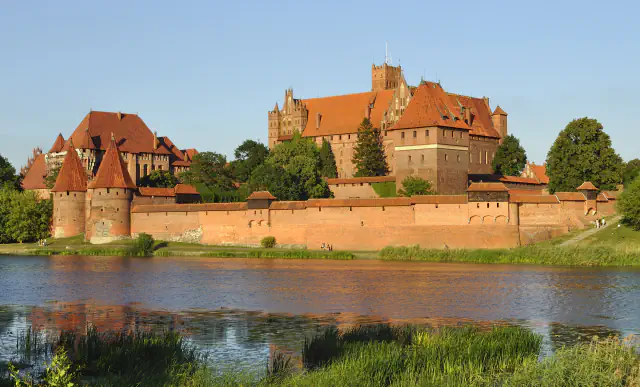
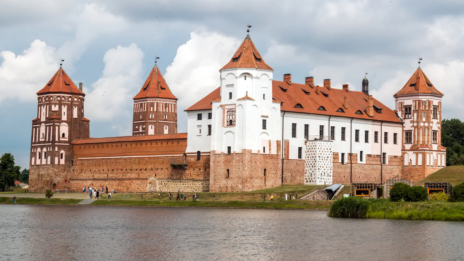
Mir Castle combines a Gothic core with Renaissance and Baroque additions. The museum’s Russian-language history describes the first defensive phase through its layout: five towers linked by walls that reached three metres at the base. Each tower stood about 25 metres high with five levels of firing positions. The museum describes three-layer masonry: brick faces with boulders set into them, enclosing a fill of small stones and broken brick. The museum records restoration beginning in 1983, an exhibition opening in the south-west tower in October 1992, and a ceremonial opening of the restored complex on 16 December 2010. UNESCO associates construction with the late 1400s, while the museum dates the Gothic phase to the early 1500s; the sources do not give one matching starting date.[1][2]
Yelnia: a mire that rivers leave but do not enter
The 2016 Ramsar sheet records a one-way river pattern at Yelnia: no river enters the mire, while more than fifteen flow away from it. It also records over 100 lakes and estimates 2.5–3.0 million tons of sapropel. Peat covers about 90% of the site, averaging 3.7 m deep and reaching a reported maximum of 8.3 m. The original Ramsar area was 23,200 ha in 2002; after the reserve’s 2007 reorganisation, the sheet gives a 25,301-ha boundary.[3][6]
Belovezhskaya Pushcha: where two sea basins meet
UNESCO lists the transboundary Białowieża Forest property (Poland and Belarus) at 141,885 ha in total and says it lies on the divide between the Baltic and Black seas. The Belarusian park’s hydrology page describes the split in its headwaters: Narew rises in the Dykoe swamps; the Svisloch and Ross, both Neman tributaries, begin close to the park’s northern boundary; and the Yaselda, a Pripyat tributary, begins at its north-eastern border. The page states that a water-parting between the Baltic and Black Sea basins lies here.[4][5]
Good to know
A few clear answers before you explore.
What does the Ramsar sheet say about water at Yelnia?
The 2016 Ramsar sheet records more than fifteen outgoing rivers and no incoming river. It also lists over 100 lakes; peat covers about 90% of Yelnia, with 3.7 m average depth and a reported 8.3 m maximum.[3][6]
How are the walls of Mir Castle built?
The museum describes a composite wall: brick faces with boulders set in them enclose a fill of small stones and broken brick. At the base, the first-stage walls reached up to 3 m thick; its roughly 25 m towers each had five firing levels.[2][1]
Which sea basins meet in Belovezhskaya Pushcha?
The Baltic and Black Sea catchments. UNESCO places the forest property on that watershed, and the park’s hydrology page names Neman and Pripyat tributaries among the rivers rising near its borders.[4][5]
The WorldStamped community
Every visit becomes part of a story.
- Members with public visits
- 0
- Places with public visits or memories
- 0
- Public memories
- 0
No public visits have been counted here yet. Add this destination to your own map and choose what you want to share.
Members are counted once. Counts include only eligible public activity from profiles that allow search discovery. Private and followers-only content is excluded.