🇧🇧Country
Barbados geology, Harrison’s Cave and Washington’s 1751 house
Barbados’s surface is mostly limestone, while older marine rocks appear in the northeast. Researchers sampled water weekly at Harrison’s Cave; a separate NOAA file preserves an older stalagmite isotope record. The 1976 diary editors and George Washington House’s official history both associate the brothers’ 1751 lodging with Captain Crofton; the editors distinguish a separate Bay Street tourist legend.
At a glance
A place worth remembering
Scotland District: older rock at the surface
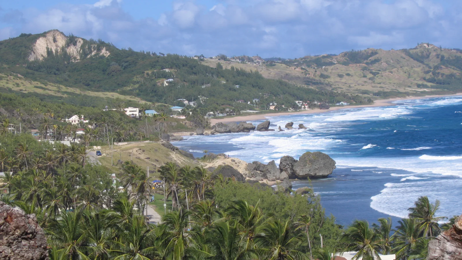
Most of Barbados’s surface is limestone, but older Tertiary-age sedimentary rock that formed in the sea reach the surface in the Scotland District, a triangle in the island’s north-east. A Government geology page, citing Donovan et al. (2005), estimates that limestone covers 85 per cent of the island and older rocks account for 15 per cent. A separate Government geology tour gives a slightly different estimate—about seven-eighths limestone—and describes four tectonostratigraphic units in the district.[2][1]
Harrison’s Cave: water records across time
At Harrison’s Cave, two studies examine water on different time scales. Hall’s 2014 thesis abstract reports weekly isotopic sampling of rainwater, dripwater and stream water at the cave. The sampling study continued through October 2013, while logger records stop in June 2013 because access to the site was not possible. NOAA’s HC-1 file lists oxygen- and carbon-isotope measurements from a stalagmite dated between 8,912 and 3,094 calendar years before present. Separately, Ouellette’s 2013 thesis abstract explains why longer rainfall histories matter on Barbados: a karstified aquifer supplies most of the island’s water, and longer precipitation records are needed to understand recharge changes.[3][4][5]
Bridgetown: the Crofton house in 1751
The editors of Washington’s 1976 diary edition place the brothers in a rented home owned by Captain Croftan (Crofton), with a view over Carlisle Bay. George Washington House’s official history identifies its Garrison residence as the home Captain Richard Crofton offered the brothers in November 1751. The editors reject a 1910 historical-site claim linking another Bay Street house to the visit and describe that association as a legend.[6][7]
Good to know
A few clear answers before you explore.
What is the Scotland District?
It is a triangular area in the north-east where older Tertiary-age sedimentary rock that formed in the sea reach the surface. A Government page citing Donovan et al. (2005) estimates an 85 per cent limestone cover, while a separate government geology tour gives a figure of about seven-eighths.[2][1]
What do the Harrison’s Cave water records cover?
Hall’s thesis abstract describes weekly samples of rainfall, dripwater and stream water during a July 2012–October 2013 study; logger observations stop in June 2013. NOAA’s separate HC-1 file contains isotope values from a stalagmite dated 8,912–3,094 calendar years BP.[3][4]
Which house did the Washington brothers rent in Bridgetown?
George Washington House’s official history says Captain Crofton offered its Garrison residence to the brothers for rent in November 1751. The 1976 diary edition describes the rented home as Captain Croftan’s and says it overlooked Carlisle Bay; its editors reject a separate historical-site claim linking a Bay Street house to the visit.[6][7]
The WorldStamped community
Every visit becomes part of a story.
- Members with public visits
- 0
- Places with public visits or memories
- 0
- Public memories
- 0
No public visits have been counted here yet. Add this destination to your own map and choose what you want to share.
Members are counted once. Counts include only eligible public activity from profiles that allow search discovery. Private and followers-only content is excluded.