🇧🇭Country
Bahrain: a harbour channel cut through a reef, burial mounds around A’ali and dugongs off the Hawar Islands
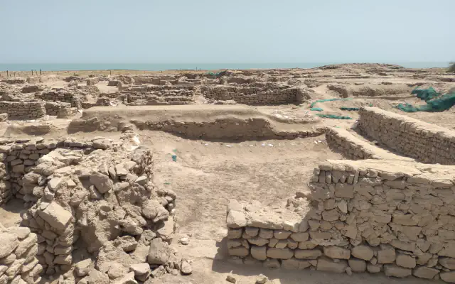
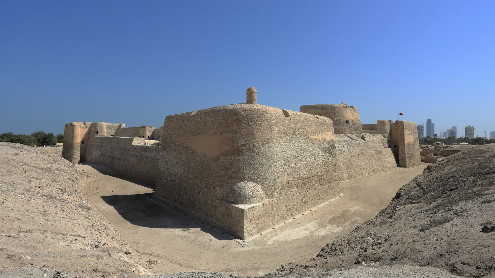
UNESCO’s property includes Qal’at al-Bahrain’s occupation mound and, offshore, a reef channel with a sea tower; A’ali’s royal tombs sit within the village; and a study traces large dugong groups around Hawar across decades.
At a glance
- Qal’at al-Bahrain
- ICOMOS’s boundary evaluation found no firm date for the reef channel or adjacent sea tower[1][2]
- A’ali and western Bahrain
- UNESCO lists 13 individual royal mounds and two pairs within A’ali village[3]
- Hawar Islands
- A 2023 estimate: Hawar groups may represent 60% of Bahrain’s and 12% of Arabian Gulf dugongs, if earlier population baselines remain similar[6]
A place worth remembering
Qal’at al-Bahrain: settlement mound and sea route
UNESCO describes Qal’at al-Bahrain as a multi-part property: an occupation mound, palm groves, a sea tower about 1,600 m north-west of the mound, and a channel through the reef near that tower. ICOMOS’s boundary evaluation says archaeological evidence has not yet given firm dates for either, and that most archaeologists assume the tower marked the channel, much as a lighthouse would.[1][2]
Dilmun tombs within A’ali
The UNESCO-listed burial landscape extends into A’ali itself: 13 individual royal mounds and two pairs are embedded in the village’s built-up area. UNESCO separates these royal mounds from the wider fields of tombs: it says the burial sites were originally built as low cylindrical towers, while the royal mounds, notable for their size, were two-storeyed towers. This brings monumental graves within A’ali into the same archaeological landscape as the separate burial fields.[3]
Hawar: seagrass habitat and dugong records
Ramsar lists Hawar as a 5,200-hectare wetland of 16 small islands and islets, designated in 1997 and surrounded by shallow water with seagrass beds. A 2023 study records large dugong groups around Hawar since at least 1986 and reports sightings in ten of twelve calendar months; it notes that April was under-sampled. The study includes reports of groups around 700 animals; its mapped core area covers about 145 km². The authors estimate that large groups around Hawar may account for about 60% of the estimated Bahrain population and 12% of the Arabian Gulf total, conditional on the earlier population estimates remaining substantially unchanged.[5][6]
Good to know
A few clear answers before you explore.
Which period do the records associate with the Dilmun burial mounds?
Both UNESCO and Bahrain’s Authority for Culture and Antiquities place the mounds in the Early Dilmun period.[3][4]
What might the sea tower at Qal’at al-Bahrain have done?
The ICOMOS evaluation reports no firm archaeological date for the tower or channel and says most archaeologists assume the tower marked the channel, comparable to a lighthouse. UNESCO’s current listing calls it probably an ancient lighthouse.[2][1]
Why are the dugong population-share estimates conditional?
The percentage calculation uses earlier population estimates cited from Hodgson (2009) and Preen (2004). The authors make the result conditional on those estimates still being broadly applicable.[6]
The WorldStamped community
Every visit becomes part of a story.
- Members with public visits
- 0
- Places with public visits or memories
- 0
- Public memories
- 0
No public visits have been counted here yet. Add this destination to your own map and choose what you want to share.
Members are counted once. Counts include only eligible public activity from profiles that allow search discovery. Private and followers-only content is excluded.