🇦🇷Country
Argentina: a glacier in Santa Cruz, terraces in Jujuy, a river in Misiones
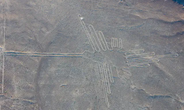
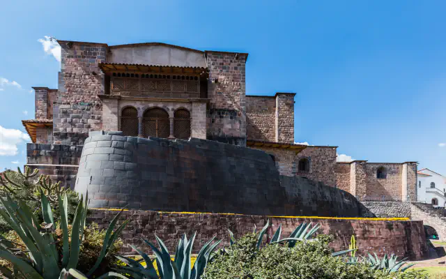
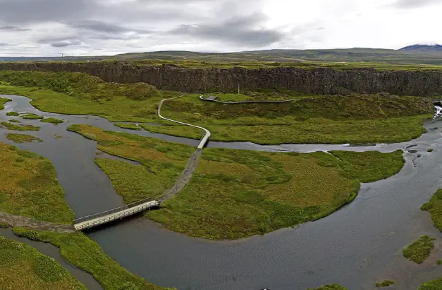
The Perito Moreno Glacier in Santa Cruz in the south, the farming terraces of Coctaca in Jujuy in the north-west and the Iguazú River in Misiones in the north-east lie in three provinces far apart. Argentina is much larger than these three, which are named so you can recognise them on the map, not as a summary of the country.
At a glance
A place worth remembering
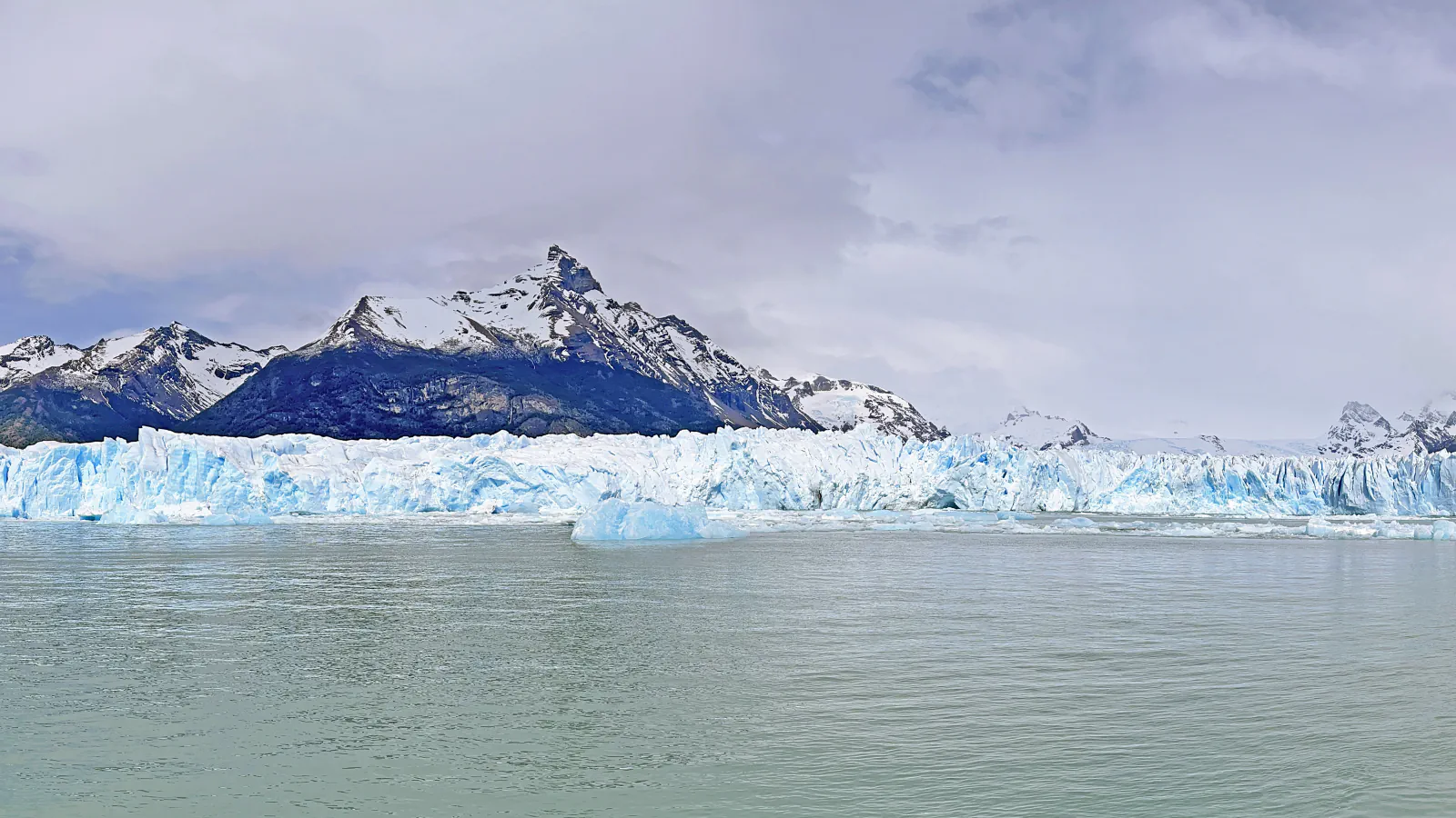
Perito Moreno, a glacier that blocks a channel of Lago Argentino
Los Glaciares National Park covers the south-west of Santa Cruz province, in Argentine Patagonia. Many of its glaciers start in the Southern Patagonian Ice Field, which Argentina shares with Chile. UNESCO explains what sets the Perito Moreno Glacier apart: it blocks a narrow channel of Lago Argentino, the water behind it temporarily rises, and the glacier’s tongue then ruptures into the lake at regular intervals. The park administration, the Administración de Parques Nacionales, calls the rupture a periodic spectacle, and its visitor leaflet gives the glacier’s area as 254 km². Within the park, Cerro Fitz Roy is also known as Chaltén. The leaflet says it was a sacred place for the Tehuelches, while UNESCO traces the name to the Aonikenk word for “smoking mountain”.[1][2][3]
Quebrada de Humahuaca and the terraces of Coctaca
The Quebrada de Humahuaca is a narrow, arid valley in Jujuy province, between the high Puna plateau and the wooded slopes to the east. UNESCO describes a corridor 155 km long that runs north to south along the Grande de Jujuy river, follows the line of the Inca road (Camino Inca) and shows evidence of use as a trade route over 10,000 years. Near the town of Humahuaca, the national commission for monuments, places and historical assets, the Comisión Nacional de Monumentos, de Lugares y de Bienes Históricos, describes the Coctaca site: 9 km east of Humahuaca on the slopes of the Sierra de Aparzo, at 3,150–3,650 m. Its fields, terraces, channels and storage areas cover more than 4,000 ha across four localities. Until a few years ago, the commission says, the system’s greatest extent was attributed to Inca rule. It now estimates that the Inca worked about 500 ha, mostly by making existing fields more productive, while most of the rest probably dates from earlier, more extensive farming of the Formative Period. Decree 1012/2000 declared the site a National Historical Monument.[4][5]
Iguazú: a wide river, then an 80-metre drop
Iguazú National Park lies at the north-eastern tip of Argentina, in Misiones province, next to the Brazilian state of Paraná, with the Iguazú River forming the border. The park administration’s fact sheet says the river runs 1,500 m wide, dotted with islands and islets, before dropping 80 m and entering a deep canyon that the river itself cut on its way to the Paraná. UNESCO says the river’s name comes from an indigenous term for “great water”, and that the falls are shared with Brazil’s Iguaçu National Park, a separate World Heritage property. Argentina’s park was created in 1934. Its emblem is a swift, the vencejo de cascada (Cypseloides senex), which roosts behind the curtains of water.[6][7]
Good to know
A few clear answers before you explore.
Why does the front of the Perito Moreno Glacier rupture regularly?
The glacier blocks a narrow channel of Lago Argentino, so the water behind it temporarily rises. UNESCO links this to the regular ruptures of the glacier’s tongue into the lake, and the park administration calls the rupture periodic.[1][3]
How much of Coctaca dates from Inca times?
The national commission for monuments estimates that the Inca worked about 500 of the site’s more than 4,000 ha, mostly by improving existing fields. It says most of the rest probably belongs to earlier, more extensive farming of the Formative Period.[5]
Does Iguazú National Park cover all of the falls?
No. The falls are shared with Brazil. Argentina’s park in Misiones was created in 1934 under Law 12.103, and the adjoining Iguaçu National Park in Brazil is a separate World Heritage property that UNESCO lists on its own.[6][7]
The WorldStamped community
Every visit becomes part of a story.
- Members with public visits
- 0
- Places with public visits or memories
- 0
- Public memories
- 0
No public visits have been counted here yet. Add this destination to your own map and choose what you want to share.
Members are counted once. Counts include only eligible public activity from profiles that allow search discovery. Private and followers-only content is excluded.