City
Yerevan across streets and centuries
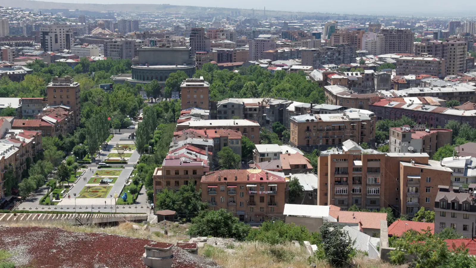
Yerevan’s Cascade was planned as a link between the city centre and northern Yerevan; Vernissage starts on Hanrapetutyan Street near Republic Square metro and ends before the Vardan Mamikonyan monument; the Erebuni reserve-museum is based on three archaeological sites within the city.
At a glance
A place worth remembering
A city connection in the 1924 plan
The 1924 master plan framed the Cascade as a link between central and northern Yerevan. Visit Yerevan dates its realisation to 1976 and describes the complex as built of white travertine.[1]
Vernissage begins near Republic Square metro
Visit Yerevan marks the market’s extent with two landmarks: it begins on Hanrapetutyan Street near Republic Square metro and ends short of the Vardan Mamikonyan monument.[2]
Three city sites form the base of the Erebuni reserve-museum
Visit Yerevan names three archaeological sites inside Yerevan’s administrative boundaries as the reserve-museum’s base: Arin Berd, Karmir Blur and Shengavit.[3]
Good to know
A few clear answers before you explore.
What connection was the Cascade planned to create?
The 1924 plan proposed a link between central and northern Yerevan; the city tourism page dates the project’s realisation to 1976.[1]
Where does Vernissage end?
The city tourism listing places the end before the Vardan Mamikonyan monument; the market starts on Hanrapetutyan Street near Republic Square metro.[2]
Which sites formed the basis for the Erebuni reserve-museum?
Arin Berd, Karmir Blur and Shengavit, all within Yerevan’s administrative boundaries.[3]
The WorldStamped community
Every visit becomes part of a story.
- Members with public visits
- 0
- Places with public visits or memories
- 0
- Public memories
- 0
No public visits have been counted here yet. Add this destination to your own map and choose what you want to share.
Members are counted once. Counts include only eligible public activity from profiles that allow search discovery. Private and followers-only content is excluded.