City
Sucre: weavings, a Spanish grid and a wall of dinosaur tracks
Sucre lies among seven hills in Bolivia’s Chuquisaca department, and three of its places belong to very different ages: a small museum of Jalq’a and Tarabuco-Yampara textiles, a chequerboard street plan from the city’s founding in 1538, and a quarry wall 4.4 km north-west of the city that carries more than twelve thousand dinosaur tracks.
At a glance
A place worth remembering
Textiles on Munay Pata hill
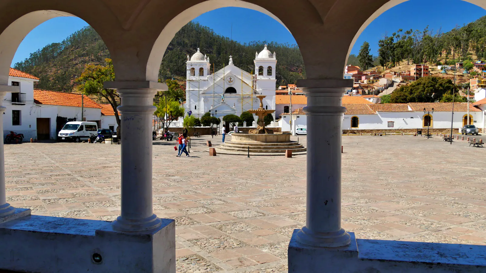
The Museo de Arte Indígena of the ASUR foundation stands on Munay Pata, one of the seven hills of Sucre, beside the Recoleta square and church; in Quechua the name means “height of love”. Its director, Verónica Cereceda, writes that the museum grew out of a programme started by three anthropologists to revive weaving among the Jalq’a and the Tarabuco-Yampara, whose textiles had declined from the late 1960s. Cereceda’s 2019 account says the programme reached about 25 communities and more than a thousand weavers; at the time of writing, about fifteen workshops remained in Chuquisaca and Potosí. The two styles are easy to tell apart in the rooms. Jalq’a aqsu, the women’s mantles, use two tones, sometimes three: a very dark ground and red or one of its variants for the figures. Tarabuco-Yampara textiles pair white cotton with brightly dyed sheep’s wool, so the figures stand out in relief. The museum keeps two Jalq’a aqsu from 1882.[1]
A 1538 grid and later courtyard houses
UNESCO dates Sucre’s founding to 1538 and says the historic city follows a simple chequerboard street plan, like other Spanish towns founded in the Americas in the 16th century. San Lázaro and the Metropolitan Cathedral are examples of 16th-century churches; later houses kept their patios while adopting Neoclassical styling. Casa de la Libertad, built in 1621 as part of a Jesuit convent, is now a museum.[2][3]
Cal Orck’o: a wall of tracks in a quarry
A 2018 study locates Cal Orck’o inside the FANCESA quarry, about 4.4 km north-west of Sucre. Its tracks lie in El Molino limestones assigned to the Middle Maastrichtian; the rock and associated freshwater stromatolites point to an open-lake setting. Between 1998 and 2015 the authors mapped 12,092 individual footprints in 465 trackways. The main level with tracks is almost vertical and covers about 65,000 m². Sauropod trackways account for 26 per cent of all mapped trackways. The authors establish Calorckosauripus as a new ichnogenus and tentatively link it to a basal titanosaur.[4]
Good to know
A few clear answers before you explore.
How do Jalq’a and Tarabuco-Yampara textiles differ?
According to the museum’s director, Jalq’a aqsu use two or sometimes three tones, a very dark ground with red or a variant for the figures. Tarabuco-Yampara pieces combine white cotton with brightly dyed sheep’s wool, which makes the figures stand out in relief.[1]
How old are the dinosaur tracks at Cal Orck’o?
The authors place the El Molino Formation, which holds the tracks, in the Middle Maastrichtian of the Late Cretaceous. The main level with tracks is almost vertical, so the tracks are seen on a wall.[4]
What was Casa de la Libertad built as?
UNESCO dates its construction to 1621 and identifies it as part of the Jesuit convent.[2]
The WorldStamped community
Every visit becomes part of a story.
- Members with public visits
- 0
- Places with public visits or memories
- 0
- Public memories
- 0
No public visits have been counted here yet. Add this destination to your own map and choose what you want to share.
Members are counted once. Counts include only eligible public activity from profiles that allow search discovery. Private and followers-only content is excluded.