🇲🇴Country
Macao: A-Ma Temple, Guia Lighthouse and Cotai wetland
A-Ma Temple sits midway up Barra Hill’s west side. Macao’s Cultural Affairs Bureau says Guia Lighthouse is the basis for the city’s location on world maps; a 2015 study based on 2013 fieldwork recorded black-faced spoonbills at Cotai’s Ecological Zone I after dark.
At a glance
A place worth remembering
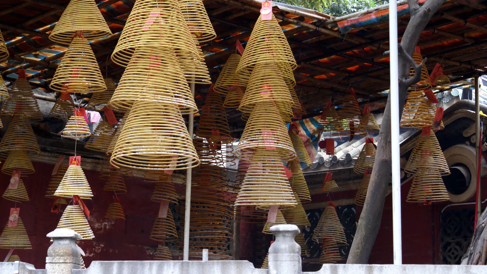
A-Ma Temple on Barra Hill
The Cultural Affairs Bureau offers A-Ma-Gau (“Bay of A-Ma”) as a possible origin for Macao’s name. The complex reached its present scale in 1828, while its pavilions were built in several periods.[1]
Guia Lighthouse as Macao’s map reference
The Bureau says Macao’s geographic location on world maps is based on this lighthouse. Its account dates the structure to 1864 and says service began on 24 September 1865.[2]
Cotai’s Ecological Zone I after dark
A Government Information Bureau report published in January 2026 describes the reserve as about 55 hectares. Separately, a 2015 study based on 2013 fieldwork recorded black-faced spoonbills in Ecological Zone I after dark. The authors proposed that the zone may also have served as a night roost because suitable alternatives in Macao were scarce.[3][4]
Good to know
A few clear answers before you explore.
What does “A-Ma-Gau” mean?
The Cultural Affairs Bureau says the expression means “Bay of A-Ma” and presents it as a possible source of Macao’s name.[1]
What does the Cultural Affairs Bureau say about Guia Lighthouse and Macao’s map position?
The Bureau says Macao’s geographic location on world maps is based on the lighthouse. It dates construction to 1864 and service to 24 September 1865.[2]
What did researchers record during 2013 fieldwork?
The study reports black-faced spoonbills in Ecological Zone I after dark. Its authors suggest the zone may have served as a night roost because Macao had few suitable alternatives.[4]
The WorldStamped community
Every visit becomes part of a story.
- Members with public visits
- 0
- Places with public visits or memories
- 0
- Public memories
- 0
No public visits have been counted here yet. Add this destination to your own map and choose what you want to share.
Members are counted once. Counts include only eligible public activity from profiles that allow search discovery. Private and followers-only content is excluded.