City
Luanda’s upper and lower city
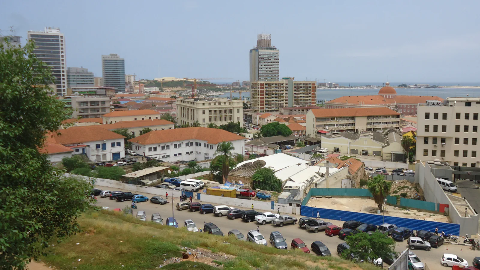
Luanda’s Cidade Alta and Cidade Baixa occupy different levels above the bay. In the Baixa, a 17th-century church has a façade shaped by a later restoration: HPIP says its 1897 work gave it the round pediment seen today.
At a glance
A place worth remembering
Two levels above the bay
Saldanha describes a city of two levels, Cidade Alta and Cidade Baixa, with a 40–80 m elevation difference. He places the upper city’s Fortaleza de São Miguel on the hill above the bay and traces a street down to the middle of the lower city’s port frontage.[1]
A church façade reshaped in 1897
The church now has a three-door front with a round pediment; HPIP describes an approximately triangular pediment on the earlier façade. It dates construction to 1651–1670 and the present outline to the 1897 restoration.[4]
São Miguel’s changing wall materials
Good to know
A few clear answers before you explore.
What does the 40–80 m figure measure?
The figure describes the elevation gap between Cidade Alta and Cidade Baixa in Saldanha’s account of Luanda.[1]
What changed in the church’s 1897 restoration?
HPIP says the 1897 restoration changed the pediment from approximately triangular to round.[4]
Which materials did HPIP record at São Miguel?
The early walls used rammed earth and adobe; HPIP dates the start of stone masonry to 1669.[2][3]
The WorldStamped community
Every visit becomes part of a story.
- Members with public visits
- 0
- Places with public visits or memories
- 0
- Public memories
- 0
No public visits have been counted here yet. Add this destination to your own map and choose what you want to share.
Members are counted once. Counts include only eligible public activity from profiles that allow search discovery. Private and followers-only content is excluded.