🇰🇮Country
Kiribati: reefs, Nooto’s shores and Kiritimati’s inland lakes
Phoenix’s submerged volcanic forms, Nooto’s lagoon-to-ocean shore and Kiritimati’s inland lakes show three distinct natural settings in Kiribati.
At a glance
- Phoenix Islands Protected Area
- 408,250 km²; at least 14 recognised submerged seamounts and eight near-surface volcanic mountains capped by coral reef[1]
- Nooto–North Tarawa Ramsar wetland
- 1,033 ha; 27 ha of mangrove forest[2]
- Kiritimati lake survey (June–July 2005)
- Five-week survey of over 100 lakes in June–July 2005; connected sequences showed differing salinity patterns[3]
A place worth remembering
Phoenix: submerged peaks and coral-capped mountains
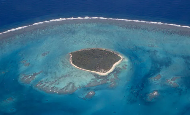
UNESCO’s geology account distinguishes at least 14 recognised seamounts that remain below the surface from eight other volcanic mountains whose summits approach it. UNESCO links the atolls and reef islands to coral reefs capping those near-surface mountains. The protected area covers 408,250 km² of marine and terrestrial space.[1]
Nooto: the lagoon shore and the ocean-facing ridge
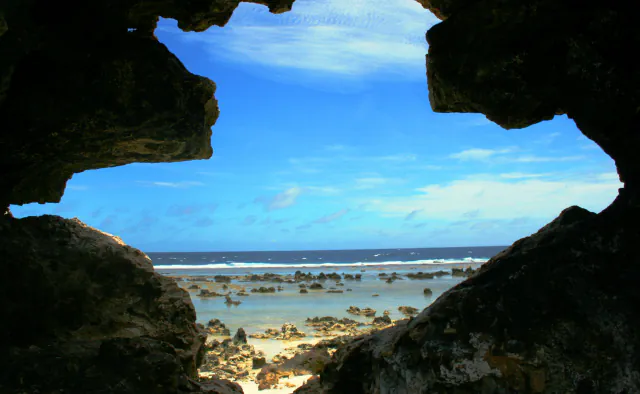
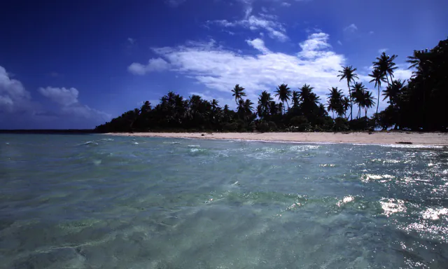
The 2012 Ramsar information sheet describes Nooto–North Tarawa as a 1,033 ha wetland. Mangrove patches and intertidal mudflats line the lagoon; on the ocean side, a limestone reef and sandy beach meet a storm-built ridge of boulders and coral fragments. The sheet sets the ridge’s elevation limit at 3 m relative to mean sea level. It identifies the ocean-facing beach as a nesting and feeding area for green turtles (Chelonia mydas), while reef patches near Nooto village are breeding sites for Albula vulpes.[2]
Kiritimati: lake salinity varies across the island
Saenger and colleagues report a five-week field survey on Kiritimati in June–July 2005 that covered over a hundred lakes. The connected lake sequences did not share one salinity pattern: some showed higher salinity farther inland, while others showed no inland increase. The article also reports that isolated inland basins could be hypersaline.[3]
Good to know
A few clear answers before you explore.
What geological forms does UNESCO describe in Phoenix?
The site description distinguishes at least 14 recognised submerged seamounts from eight other volcanic mountains whose summits approach the surface and carry coral reefs.[1]
Which wildlife roles does the 2012 Ramsar sheet report for Nooto?
It describes the ocean-facing beach as a nesting and feeding area for Chelonia mydas, and reef patches by Nooto village as breeding sites for Albula vulpes.[2]
Did lagoon-connected lakes all show the same salinity trend?
No. Some connected sequences had higher salinity farther inland, others did not; the article also reports that isolated inland basins could be hypersaline.[3]
The WorldStamped community
Every visit becomes part of a story.
- Members with public visits
- 0
- Places with public visits or memories
- 0
- Public memories
- 0
No public visits have been counted here yet. Add this destination to your own map and choose what you want to share.
Members are counted once. Counts include only eligible public activity from profiles that allow search discovery. Private and followers-only content is excluded.