🇧🇮Country
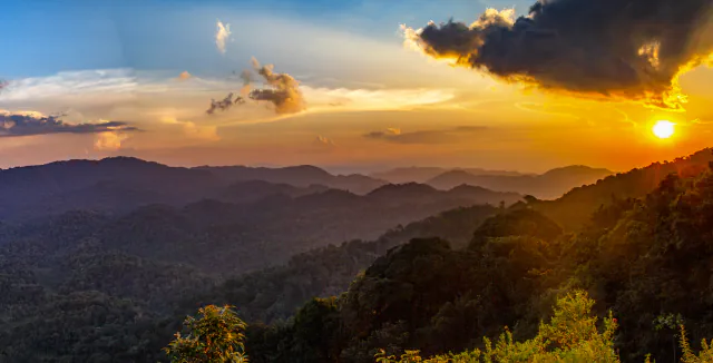
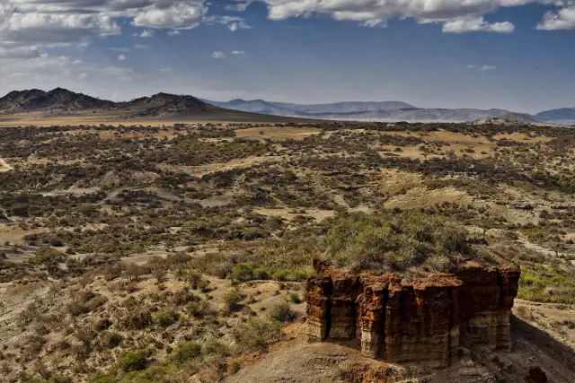
Burundi in three places: the royal house hill of Gishora, Lake Tanganyika with the Rusizi delta, and Ruvubu National Park
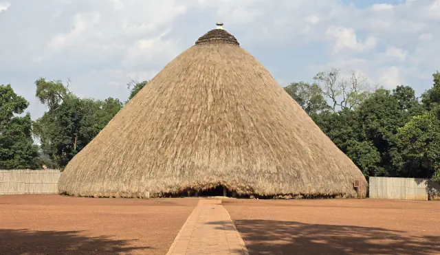
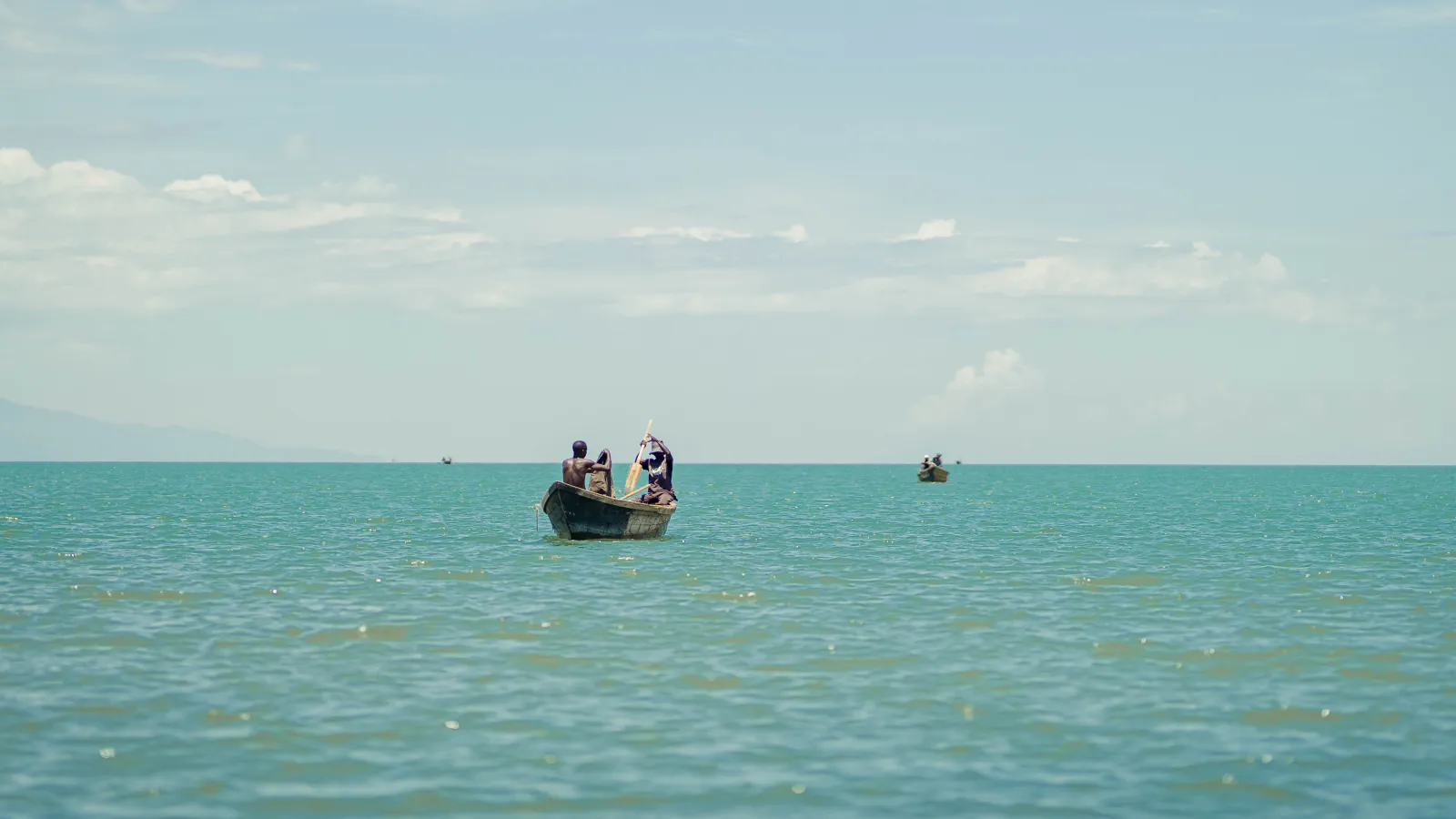
At Gishora, a body-based measure sets the royal house’s circular plan. Farther west, the Rusizi delta meets Lake Tanganyika; eastward, Ruvubu National Park follows a river through wooded savanna.
At a glance
- Gishora
- The main royal house frame is formed by 45–60 posts about 2 m high, with a woven papyrus-reed dome on 13 pillars, as described in Burundi’s 2026 submission[1]
- Lake Tanganyika
- Net heat absorption of 0.4 W m⁻² since 1913; surface about 1.3 °C warmer, 1,000 m depth 0.2 °C warmer[4]
- Ruvubu National Park
- 522 vascular-plant taxa, including infraspecific ranks, in 96 families: nearly 17% of Burundi’s known vascular plants[7]
A place worth remembering
Gishora: how a body-based measure shaped a royal house
The royal house at Gishora uses a human measure to set its geometry: an itambwe is the length of a person lying face down with raised arms, and two units mark the building’s circular plan. Burundi’s 2026 Tentative List places the residence in the first half of the 19th century and connects it to the annual Umuganuro sorghum-sowing festival. The submission also calls Gishora a sanctuary of sacred drums; for the royal-drum dance that UNESCO inscribed in 2014, UNESCO describes a semicircle of twelve or more drums, their total always odd, around a central drum that gives the rhythm.[1][2]
Lake Tanganyika and the Rusizi delta: warming measured from surface to 1,000 m
Burundi’s Tentative List describes the lake as shared by four countries, with the Burundian part covering about 2,300 km², nearly 7% of the lake. A 2009 publisher abstract by Verburg and Hecky concerns the lake as a whole and reports that since 1913 the lake has absorbed heat at a net 0.4 W m⁻², double the global-ocean rate. Warming is uneven, around 1.3°C at the surface versus 0.2°C at 1,000 m; that contrast strengthens the density gradient and can weaken mixing that replenishes surface nutrients. The authors link clearer water with reduced productivity and report a similar pattern in Malawi.[3][4][5]
Ruvubu National Park: 522 plant taxa recorded along a river
The Ramsar site follows the Ruvubu River across 50,800 ha in Karuzi, Muyinga, Ruyigi and Cankuzo, the areas its Ramsar record names. A 2012 botanical inventory gives the park a detailed plant record: its authors count 522 vascular-plant taxa, across 96 families and 306 genera. They estimate that the list represents nearly 17% of Burundi’s known vascular flora; 96 entries were new records for the park. The paper also compares the park’s flora with Rwanda’s Akagera National Park.[6][7]
Good to know
A few clear answers before you explore.
What does the Gishora submission mean by itambwe?
The 2026 State Party file defines itambwe as the length of a person lying face down with arms raised; it says two linked measures trace the royal residence’s circular plan. This gives a human-scale account of the layout.[1]
How much has Lake Tanganyika warmed?
Verburg and Hecky’s publisher abstract (2009) reports warming of about 1.3°C at the surface and 0.2°C at 1,000 m, with a net heat-absorption rate of 0.4 W m⁻² since 1913. The paper discusses the whole lake, not only Burundi’s shore.[4]
Which of these places are Ramsar sites?
Both are Ramsar sites: Rusizi covers the delta north of Lake Tanganyika; Ruvubu follows a river corridor in eastern Burundi. The entries list 10,673 ha for Rusizi and 50,800 ha for Ruvubu, designated in 2002 and 2013.[5][6]
The WorldStamped community
Every visit becomes part of a story.
- Members with public visits
- 0
- Places with public visits or memories
- 0
- Public memories
- 0
No public visits have been counted here yet. Add this destination to your own map and choose what you want to share.
Members are counted once. Counts include only eligible public activity from profiles that allow search discovery. Private and followers-only content is excluded.