🇱🇮Country
Liechtenstein: a castle tower, a wetland and Walser history
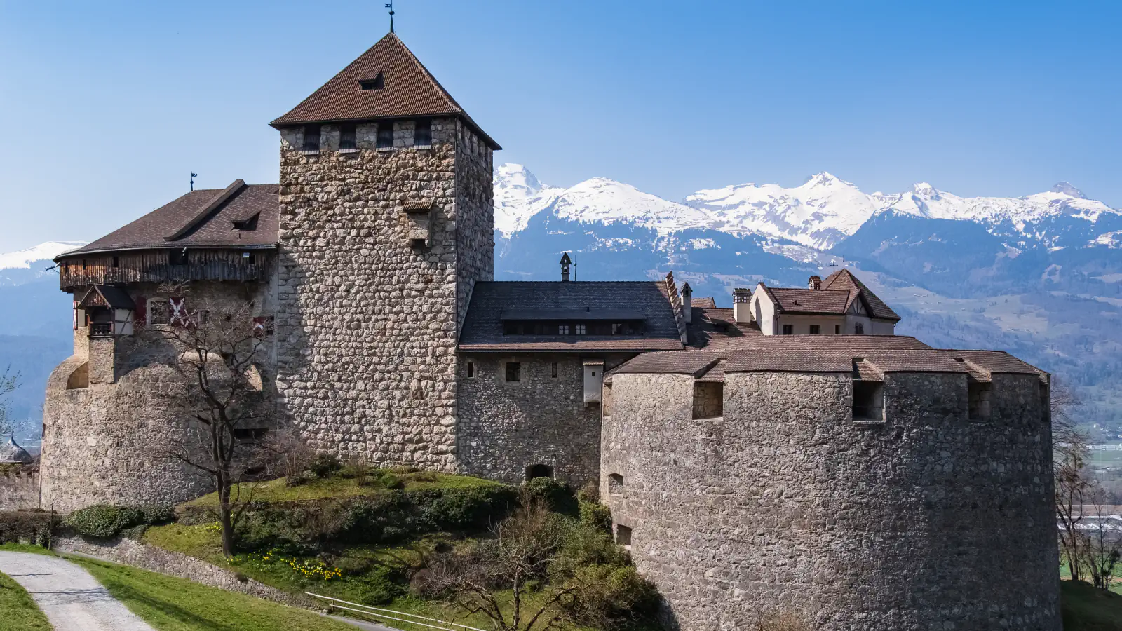
A tree-ring date of 1287 belongs to the residential tower in Vaduz Castle’s north-west corner, not to the whole castle. Ramsar’s Ruggeller Riet overview reports peat up to nine metres deep and gives the latest RIS information as 1998; a local record first names Walser residents in Triesenberg in 1355.
At a glance
A place worth remembering
Vaduz: the tower and castle have different dates
Ruggeller Riet: peat depth in Ramsar’s site overview
Triesenberg: Walser history in local records
Good to know
A few clear answers before you explore.
Which part of Vaduz Castle is dated to 1287?
The residential tower in the castle’s north-west corner. The castle’s first documentary mention is from 1322, so 1287 is not a date for the whole castle.[1][2]
What does the nine-metre peat figure describe?
Ramsar’s site overview reports peat up to nine metres deep and says the latest information from a Ramsar Information Sheet is from 1998. The Historical Lexicon gives a separate estimate close to nine metres and dates the last peat cutting to 1992.[3][4]
When does the name Triesenberg first appear in a record?
The Historical Lexicon gives 1378 for “Trisnerberg”. It says “Triesnerberg” was still used into the 20th century before “Triesenberg” became the official spelling.[5]
The WorldStamped community
Every visit becomes part of a story.
- Members with public visits
- 0
- Places with public visits or memories
- 0
- Public memories
- 0
No public visits have been counted here yet. Add this destination to your own map and choose what you want to share.
Members are counted once. Counts include only eligible public activity from profiles that allow search discovery. Private and followers-only content is excluded.